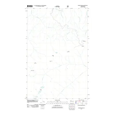
2011 Map of Maiden Peak
USGS Topo · Published 2011About this map
Maiden Peak stands as a central landmark in this high-elevation wilderness, where a series of prominent summits including Blue Mountain, Green Mountain, and Elk Mountain define a landscape of steep drainages and alpine basins. The area is characterized by a concentrated cluster of small mountain lakes at the headwaters of Grand Creek, including Grand Lake, Moose Lake, and Gladys Lake. These water bodies are situated within Grand Valley, providing a stark contrast to the nearby Badger Valley.
Find a feature on this map
20 named features on this map. Tap any name to fly to it.
Don’t see what you’re looking for? This feature index may not catch every label — zoom into the map to look around manually.
Map Details
Editions of this 2011 Maiden Peak Map
This is the sole edition of this map. No revisions or reprints were ever made.
Other maps of this area

1918 · Port Angeles
USGS Topo · 1:62,500

1938 · Mt Constance
USGS Topo · 1:125,000

1938 · Dungeness
USGS Topo · 1:62,500

1939 · Dungeness
USGS Topo · 1:62,500

1941 · Port Angeles
USGS Topo · 1:62,500

1944 · Mt. Angeles
USGS Topo · 1:62,500

1946 · Mt. Angeles
USGS Topo · 1:62,500

1946 · Tyler Peak
USGS Topo · 1:62,500

1948 · Tyler Peak
USGS Topo · 1:62,500
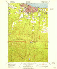
1950 · Port Angeles
USGS Topo · 1:24,000