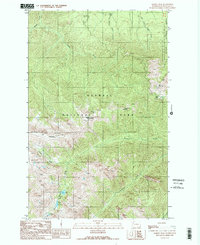
1990 Map of Maiden Peak
USGS Topo · Published 1990About this map
Hurricane Ridge and Maiden Peak anchor this high-elevation wilderness in Clallam County, where the transition from Olympic National Forest to Olympic National Park defines the land management. This 1990 provisional edition, compiled from aerial photography, captures the network of remote trails and peaks before the turn of the century. The terrain is deeply incised by the drainage systems of Morse Creek, Maiden Creek, and the Gray Wolf River.
Find a feature on this map
23 named features on this map. Tap any name to fly to it.
Don’t see what you’re looking for? This feature index may not catch every label — zoom into the map to look around manually.
Map Details
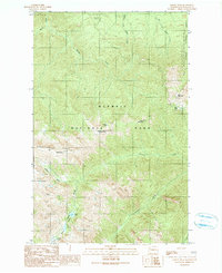
Editions of this 1990 Maiden Peak Map
2 editions found
Other maps of this area

1918 · Port Angeles
USGS Topo · 1:62,500

1938 · Mt Constance
USGS Topo · 1:125,000

1938 · Dungeness
USGS Topo · 1:62,500

1939 · Dungeness
USGS Topo · 1:62,500

1941 · Port Angeles
USGS Topo · 1:62,500

1944 · Mt. Angeles
USGS Topo · 1:62,500

1946 · Mt. Angeles
USGS Topo · 1:62,500

1946 · Tyler Peak
USGS Topo · 1:62,500

1948 · Tyler Peak
USGS Topo · 1:62,500
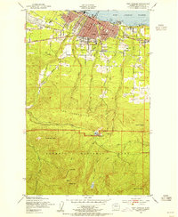
1950 · Port Angeles
USGS Topo · 1:24,000