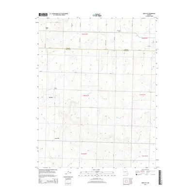
2014 Map of Main City
USGS Topo · Published 2014About this map
The boundary between Cass and Bates counties divides this Western Missouri landscape, where the headwaters of the Mormon Fork and Black Creek dictate the local geography. Small rural settlements like Main City and Burdett serve as anchors for the surrounding farmsteads, connected by a grid of secondary roads such as Main City Road and Mo-Aa. The presence of the Burdett Cemetery provides a focal point for genealogical research, marking a historic community center in this section of the state. To the east, the Mc Donnell Airport introduces a modern aviation element to an otherwise agricultural region. Further south, the terrain follows the drainages of Knob Creek and Millsap Creek near the community of Lacyville, illustrating the persistent relationship between water sources and early Missouri settlement patterns.
Find a feature on this map
28 named features on this map. Tap any name to fly to it.
Don’t see what you’re looking for? This feature index may not catch every label — zoom into the map to look around manually.
Map Details
Editions of this 2014 Main City Map
This is the sole edition of this map. No revisions or reprints were ever made.
Other maps of this area

1887 · Harrisonville
USGS Topo · 1:125,000

1887 · Olathe
USGS Topo · 1:125,000

1887 · Butler
USGS Topo · 1:125,000

1887 · Mound City
USGS Topo · 1:125,000

1892 · Harrisonville
USGS Topo · 1:125,000

1893 · Mound City
USGS Topo · 1:125,000

1893 · Olathe
USGS Topo · 1:125,000

1894 · Harrisonville
USGS Topo · 1:125,000

1894 · Butler
USGS Topo · 1:125,000

1947 · Lawrence
USGS Topo · 1:250,000