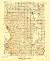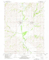
1981 Map of Maitland
USGS Topo · Published 1982About this map
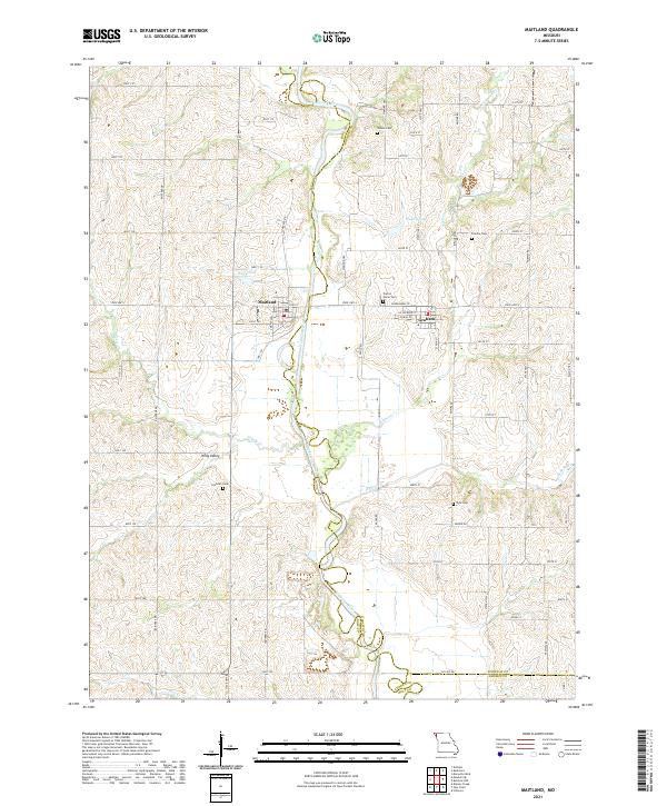
The Nodaway River meanders southward through the center of this landscape, defining the boundary between Holt and Nodaway counties. The town of Maitland serves as a primary hub for the surrounding rural area, anchored by the Burlington Northern railroad line that parallels the river valley. To the east, the community of Graham is situated near the Prairie Home Cem, one of several local burial grounds including Groves Cem and Linville Cem that offer significant value for genealogical research. The terrain is marked by numerous watercourses such as Elkhorn Creek and Jenkins Creek, while industrial and transit points like Kinglewood Landing Strip, various quarries, and a Sandpit indicate the mixed agricultural and resource-based economy of the early 1980s. Small rural intersections like Campbell Corner further illustrate the established settlement patterns of this Missouri river valley region.
Find a feature on this map
31 named features on this map. Tap any name to fly to it.
Don’t see what you’re looking for? This feature index may not catch every label — zoom into the map to look around manually.
Map Details
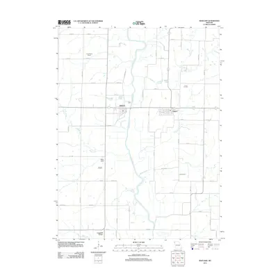
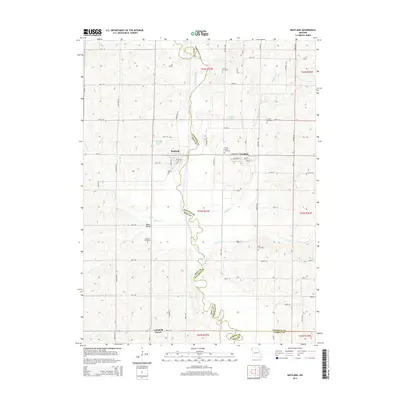
Editions of this 1981 Maitland Map
This is the sole edition of this map. No revisions or reprints were ever made.
Historical Maps of Maitland Through Time
6 maps found