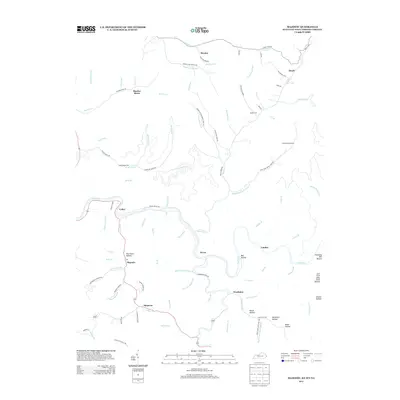
2013 Map of Majestic
USGS Topo · Published 2013About this map
The winding course of the Tug Fork river defines this landscape along the West Virginia and Kentucky border, where narrow valleys dictate the pattern of human settlement. Near the northern edge, Thacker Mines sits amidst a network of creek branches like Thacker Cr and Prater Cr, illustrating the region's deep ties to the coal industry. The map captures a series of small riverside and hollow-based communities, including Majestic, Devon, and Stopover, many of which are connected by winding roads such as Cedar-Vulcan Rd and Grapevine Creek Rd.
Find a feature on this map
102 named features on this map. Tap any name to fly to it.
Don’t see what you’re looking for? This feature index may not catch every label — zoom into the map to look around manually.
Map Details
Editions of this 2013 Majestic Map
This is the sole edition of this map. No revisions or reprints were ever made.
Other maps of this area

1886 · Grundy
USGS Topo · 1:125,000

1887 · Warfield
USGS Topo · 1:125,000

1890 · Grundy
USGS Topo · 1:125,000

1891 · Tazewell
USGS Topo · 1:125,000

1891 · Oceana
USGS Topo · 1:125,000

1891 · Warfield
USGS Topo · 1:125,000

1892 · Grundy
USGS Topo · 1:125,000

1893 · Oceana
USGS Topo · 1:125,000

1895 · Tazewell
USGS Topo · 1:125,000

1897 · Tazewell
USGS Topo · 1:125,000