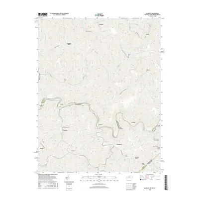
2016 Map of Majestic
USGS Topo · Published 2016About this map
The Tug Fork of the Big Sandy River carves a winding path through the Central Appalachian coalfields, serving as the jagged boundary between West Virginia and Kentucky. In this 2016 survey, the industrial legacy of the region is evident at Thacker Mines and the nearby settlement of Cedar, where the terrain is marked by steep valleys and narrow hollows. The map documents numerous family and local landmarks that are critical for genealogical research, including the Steele Cem near Hinch and the Simpkins Family Cem to the south. Further south, the map details the rugged topography around Majestic and Stopover, tracing the complex network of mountain streams like Mate Cr and Thacker Cr that have dictated the placement of mountain roads and small mining communities for generations.
Find a feature on this map
103 named features on this map. Tap any name to fly to it.
Don’t see what you’re looking for? This feature index may not catch every label — zoom into the map to look around manually.
Map Details
Editions of this 2016 Majestic Map
This is the sole edition of this map. No revisions or reprints were ever made.
Other maps of this area

1886 · Grundy
USGS Topo · 1:125,000

1887 · Warfield
USGS Topo · 1:125,000

1890 · Grundy
USGS Topo · 1:125,000

1891 · Tazewell
USGS Topo · 1:125,000

1891 · Oceana
USGS Topo · 1:125,000

1891 · Warfield
USGS Topo · 1:125,000

1892 · Grundy
USGS Topo · 1:125,000

1893 · Oceana
USGS Topo · 1:125,000

1895 · Tazewell
USGS Topo · 1:125,000

1897 · Tazewell
USGS Topo · 1:125,000