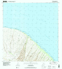
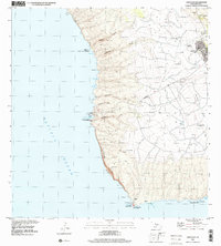
1991 Map of Makalau
USGS Topo · Published 2000About this map
Shipwreck Beach and the northeast coastline of the Lahaina District define this coastal landscape, where the Pacific Ocean meets a series of steep, parallel drainages. The area is characterized by an intricate network of gulches, such as Kahua Gulch, Poaiwa Gulch, and Maunalei Gulch, which carve through the volcanic slopes down to the 'Au'au Channel. This 1991 survey shows a landscape largely shaped by its hydrology, featuring a Well, several water tanks, and a Catch Basin Water Tank situated inland to manage runoff.
Find a feature on this map
48 named features on this map. Tap any name to fly to it.
Don’t see what you’re looking for? This feature index may not catch every label — zoom into the map to look around manually.
Map Details
Editions of this 1991 Makalau Map
This is the sole edition of this map. No revisions or reprints were ever made.
Other maps of this area

1923 · Island of Lanai
USGS Topo · 1:31,680

1925 · Island of Lanai
USGS Topo · 1:62,500

1954 · Maui
USGS Topo · 1:250,000

1966 · Maui
USGS Topo · 1:250,000

1974 · Maui
USGS Topo · 1:250,000
1984 · Lanai North
USGS Topo · 1:25,000
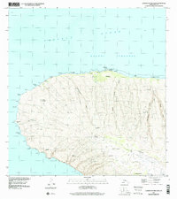
1991 · Garden Of The Gods
USGS Topo · 1:24,000
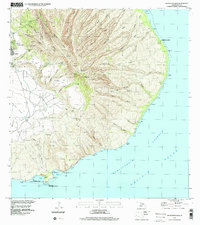
1992 · Haalelepaakai
USGS Topo · 1:24,000
1992 · Lanai City
USGS Topo · 1:24,000
2013 · Lanai North OE E
USGS Topo · 1:24,000