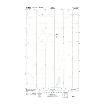
2011 Map of Makoti
USGS Topo · Published 2011About this map
Makoti stands as the central hub of this agricultural landscape in Ward County, defined by a rigid section-line road grid and scattered prairie potholes. The town’s layout is anchored by 3rd Ave and 4th Ave, serving as a localized center for the surrounding ranching and farming operations. Infrastructure catering to the region's aviation needs is found just south of the main settlement at the Makoti Municipal Airport. Outside the town site, the landscape is partitioned by long arterial routes such as 380th St SW and 333rd Ave SW, which facilitate movement between the numerous small wetlands and seasonal basins that dot the plains. This 2011 survey captures the area at a time when traditional rural road networks remained the primary framework for land use and navigation in this part of North Dakota.
Find a feature on this map
19 named features on this map. Tap any name to fly to it.
Don’t see what you’re looking for? This feature index may not catch every label — zoom into the map to look around manually.
Map Details
Editions of this 2011 Makoti Map
This is the sole edition of this map. No revisions or reprints were ever made.
Other maps of this area

1954 · Minot
USGS Topo · 1:250,000

1954 · McClusky
USGS Topo · 1:250,000

1956 · Makoti SW
USGS Topo · 1:24,000

1956 · Blue Hill
USGS Topo · 1:24,000

1956 · Roseglen
USGS Topo · 1:24,000

1958 · McClusky
USGS Topo · 1:250,000

1958 · Minot
USGS Topo · 1:250,000

1980 · Minot
USGS Topo · 1:100,000

1980 · Plaza SE
USGS Topo · 1:24,000

1980 · Makoti
USGS Topo · 1:24,000