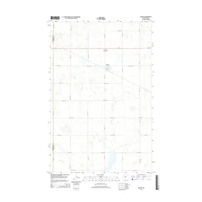
2014 Map of Makoti
USGS Topo · Published 2014About this map
The small agricultural community of Makoti sits at the intersection of a precise grid of rural roads in this North Dakota landscape. The map details the boundary between Mountrail Co and Ward Co, tracing the division between these two counties as they slice through the prairie. To the north of the main settlement, Saint Elizabeth Catholic Cem serves as a significant landmark for those researching local family histories and early homesteading patterns in the region. The map highlights the town's local infrastructure, including the central Po and the primary transit artery of ND-23. This survey documents a quiet rural township defined by its section-line roads, such as 338th St SW and 261st Ave SW, which facilitate the transport of goods across the surrounding plains.
Find a feature on this map
21 named features on this map. Tap any name to fly to it.
Don’t see what you’re looking for? This feature index may not catch every label — zoom into the map to look around manually.
Map Details
Editions of this 2014 Makoti Map
This is the sole edition of this map. No revisions or reprints were ever made.
Other maps of this area

1954 · Minot
USGS Topo · 1:250,000

1954 · McClusky
USGS Topo · 1:250,000

1956 · Makoti SW
USGS Topo · 1:24,000

1956 · Blue Hill
USGS Topo · 1:24,000

1956 · Roseglen
USGS Topo · 1:24,000

1958 · McClusky
USGS Topo · 1:250,000

1958 · Minot
USGS Topo · 1:250,000

1980 · Minot
USGS Topo · 1:100,000

1980 · Plaza SE
USGS Topo · 1:24,000

1980 · Makoti
USGS Topo · 1:24,000