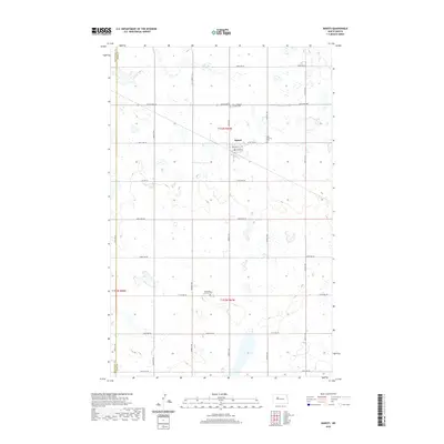
2020 Map of Makoti
USGS Topo · Published 2020About this map
Makoti serves as the central hub of this prairie landscape, where the grid of the Public Land Survey System defines the placement of roads and farmsteads. The area is characterized by a high concentration of small, scattered wetlands and depressions common to the Northern Great Plains, showing a terrain that remains largely agricultural. Spiritual and community history is anchored by several distinct burial sites located near the town and along the sections, including Saint Elizabeth Catholic Cem and Hope Lutheran Cem to the east. Further south, Saint Pauls Lutheran Cem provides another point of reference for genealogists and local historians tracking the early families of Ward and Mountrail counties. The layout of Co Hwy 9 and Co Hwy 22 highlights the vital transportation corridors that connect these isolated agricultural communities.
Find a feature on this map
31 named features on this map. Tap any name to fly to it.
Don’t see what you’re looking for? This feature index may not catch every label — zoom into the map to look around manually.
Map Details
Editions of this 2020 Makoti Map
This is the sole edition of this map. No revisions or reprints were ever made.
Other maps of this area

1954 · Minot
USGS Topo · 1:250,000

1954 · McClusky
USGS Topo · 1:250,000

1956 · Makoti SW
USGS Topo · 1:24,000

1956 · Blue Hill
USGS Topo · 1:24,000

1956 · Roseglen
USGS Topo · 1:24,000

1958 · McClusky
USGS Topo · 1:250,000

1958 · Minot
USGS Topo · 1:250,000

1980 · Minot
USGS Topo · 1:100,000

1980 · Plaza SE
USGS Topo · 1:24,000

1980 · Makoti
USGS Topo · 1:24,000