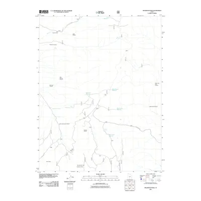
2011 Map of Malmsten Peak
USGS Topo · Published 2011About this map
Malmsten Peak and Forshea Mountain anchor this high-altitude landscape in Piute County, where water management is the primary imprint on the terrain. The presence of numerous small-scale catchments like Hell Hole Reservoir, Dead Horse Reservoir, and Rock Canyon Reservoir suggests a geography heavily utilized for seasonal livestock grazing. This pattern is further evidenced by named agricultural features such as Forshea Pasture and the Forshea Trough, which connect natural water sources like Forshea Spring to the higher ranges.
Find a feature on this map
47 named features on this map. Tap any name to fly to it.
Don’t see what you’re looking for? This feature index may not catch every label — zoom into the map to look around manually.
Map Details
Editions of this 2011 Malmsten Peak Map
This is the sole edition of this map. No revisions or reprints were ever made.
Other maps of this area

1885 · Beaver
USGS Topo · 1:250,000

1885 · Fish Lake
USGS Topo · 1:250,000

1896 · Fish Lake
USGS Topo · 1:250,000

1945 · Marysvale
USGS Topo · 1:62,500

1947 · Marysvale
USGS Topo · 1:62,500

1953 · Richfield
USGS Topo · 1:250,000

1956 · Salina
USGS Topo · 1:250,000

1958 · Richfield
USGS Topo · 1:250,000

1960 · Salina
USGS Topo · 1:250,000

1962 · Salina
USGS Topo · 1:250,000