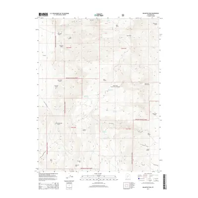
2014 Map of Malmsten Peak
USGS Topo · Published 2014About this map
Malmsten Peak and the surrounding high country of the Fishlake National Forest dominate this high-altitude landscape in southern Utah. This part of Piute County is defined by a network of drainage canyons and high plateaus, where livestock management and water conservation are evident through labels like Forshea Pasture and several isolated reservoirs. The placement of Tuft Reservoir, Dead Horse Reservoir, and Rock Canyon Reservoir across these elevations suggests a sophisticated system for managing seasonal runoff in this arid mountain environment.
Find a feature on this map
43 named features on this map. Tap any name to fly to it.
Don’t see what you’re looking for? This feature index may not catch every label — zoom into the map to look around manually.
Map Details
Editions of this 2014 Malmsten Peak Map
This is the sole edition of this map. No revisions or reprints were ever made.
Other maps of this area

1885 · Beaver
USGS Topo · 1:250,000

1885 · Fish Lake
USGS Topo · 1:250,000

1896 · Fish Lake
USGS Topo · 1:250,000

1945 · Marysvale
USGS Topo · 1:62,500

1947 · Marysvale
USGS Topo · 1:62,500

1953 · Richfield
USGS Topo · 1:250,000

1956 · Salina
USGS Topo · 1:250,000

1958 · Richfield
USGS Topo · 1:250,000

1960 · Salina
USGS Topo · 1:250,000

1962 · Salina
USGS Topo · 1:250,000