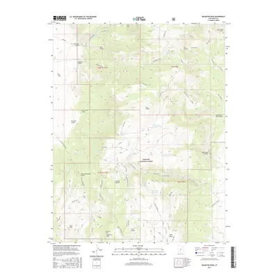
2017 Map of Malmsten Peak
USGS Topo · Published 2017About this map
Malmsten Peak and Forshea Mtn anchor this high-elevation landscape within the Fishlake National Forest. The map documents a complex network of canyons and water management features essential for the high-country range. A series of upland impoundments, including Rock Canyon Reservoir, Hell Hole Reservoir, and Dead Horse Reservoir, highlight the critical role of water storage in this arid environment. The naming of landmarks such as Forshea Pasture and several springs like Sevy Spring and Brindley Spring indicates a history of livestock grazing and mountain resource use. Transportation through the steep terrain is marked by legacy routes like the Paiute (D-4) trail and various forest roads, reflecting the 21st-century character of this managed wilderness in Piute County.
Find a feature on this map
55 named features on this map. Tap any name to fly to it.
Don’t see what you’re looking for? This feature index may not catch every label — zoom into the map to look around manually.
Map Details
Editions of this 2017 Malmsten Peak Map
This is the sole edition of this map. No revisions or reprints were ever made.
Other maps of this area

1885 · Beaver
USGS Topo · 1:250,000

1885 · Fish Lake
USGS Topo · 1:250,000

1896 · Fish Lake
USGS Topo · 1:250,000

1945 · Marysvale
USGS Topo · 1:62,500

1947 · Marysvale
USGS Topo · 1:62,500

1953 · Richfield
USGS Topo · 1:250,000

1956 · Salina
USGS Topo · 1:250,000

1958 · Richfield
USGS Topo · 1:250,000

1960 · Salina
USGS Topo · 1:250,000

1962 · Salina
USGS Topo · 1:250,000