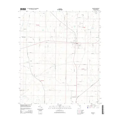
2015 Map of Malone
USGS Topo · Published 2015About this map
Malone serves as the primary hub in this portion of Jackson County, where a grid of residential avenues and numbered streets intersects with major thoroughfares like SR-2. The surrounding landscape is characterized by a high density of small water bodies and drainage runs, including Parker Pond, Meredith Pond, and the serpentine Hays Spring Run near the southern boundary. This network of ponds and runs suggests a karst-influenced topography typical of the Florida Panhandle, where surface water frequently interacts with underlying limestone systems.
Find a feature on this map
96 named features on this map. Tap any name to fly to it.
Don’t see what you’re looking for? This feature index may not catch every label — zoom into the map to look around manually.
Map Details
Editions of this 2015 Malone Map
This is the sole edition of this map. No revisions or reprints were ever made.
Other maps of this area

1952 · Dellwood
USGS Topo · 1:24,000

1952 · Cottondale East
USGS Topo · 1:24,000

1952 · Malone
USGS Topo · 1:24,000

1952 · Bascom
USGS Topo · 1:24,000

1952 · Sills
USGS Topo · 1:24,000

1952 · Marianna
USGS Topo · 1:24,000

1953 · Dothan
USGS Topo · 1:250,000

1954 · Dothan
USGS Topo · 1:250,000

1954 · Tallahassee
USGS Topo · 1:250,000

1955 · Dothan
USGS Topo · 1:250,000