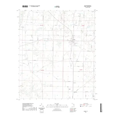
2021 Map of Malone
USGS Topo · Published 2021About this map
Malone and Greenwood anchor this Jackson County landscape, characterized by an intricate network of local bays and ponds. The area's topography is defined by significant wetlands and water bodies such as Jordan Bay, Taylor Bay, and Baxter Bay, interspersed with numerous named ponds like Logan Pond, Harts Pond, and Mill Pond. This survey captures the rural infrastructure of the region, from the Chipola Airpark to the winding course of Hays Spring Run.
Find a feature on this map
107 named features on this map. Tap any name to fly to it.
Don’t see what you’re looking for? This feature index may not catch every label — zoom into the map to look around manually.
Map Details
Editions of this 2021 Malone Map
This is the sole edition of this map. No revisions or reprints were ever made.
Other maps of this area

1952 · Dellwood
USGS Topo · 1:24,000

1952 · Cottondale East
USGS Topo · 1:24,000

1952 · Malone
USGS Topo · 1:24,000

1952 · Bascom
USGS Topo · 1:24,000

1952 · Sills
USGS Topo · 1:24,000

1952 · Marianna
USGS Topo · 1:24,000

1953 · Dothan
USGS Topo · 1:250,000

1954 · Dothan
USGS Topo · 1:250,000

1954 · Tallahassee
USGS Topo · 1:250,000

1955 · Dothan
USGS Topo · 1:250,000