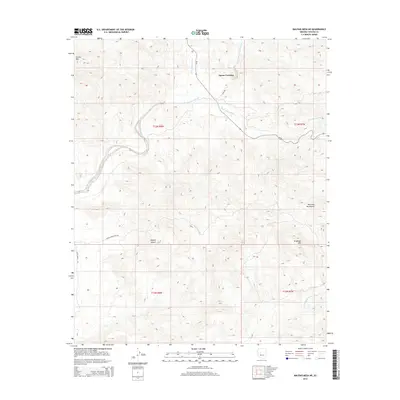
2014 Map of Malpais Mesa NE
USGS Topo · Published 2014About this map
Apron Crossing serves as a central landmark in this high-desert landscape where the Santa Maria River N Fork and Little Shipp Wash converge. The topography is defined by the sharp elevations of Crosby Mtn in the northwest and the McCloud Mountains to the east, illustrating the complex drainage patterns of the eastern Mojave Desert. This 2014 survey documents the primitive road network, including Sypes Rd and the Santa Maria River Rd, which trace the winding paths of seasonal washes like Quail Spring Wash. The map details the transition between various township and range boundaries, such as t13n r8w and t12n r7w, providing a clear view of how the land was partitioned amidst the steep terrain of Grayback Mtn.
Find a feature on this map
19 named features on this map. Tap any name to fly to it.
Don’t see what you’re looking for? This feature index may not catch every label — zoom into the map to look around manually.
Map Details
Editions of this 2014 Malpais Mesa NE Map
This is the sole edition of this map. No revisions or reprints were ever made.
Other maps of this area

1887 · Prescott
USGS Topo · 1:250,000

1892 · Prescott
USGS Topo · 1:250,000

1903 · Congress
USGS Topo · 1:125,000

1904 · Congress
USGS Topo · 1:125,000

1923 · Signal
USGS Topo · 1:250,000

1942 · Signal
USGS Topo · 1:250,000

1945 · Bagdad
USGS Topo · 1:62,500

1947 · Sheridan Mountain
USGS Topo · 1:62,500

1948 · Sheridan Mountain
USGS Topo · 1:63,360

1948 · Bagdad
USGS Topo · 1:62,500