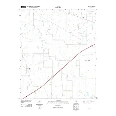
2010 Map of Malta
USGS Topo · Published 2010About this map
Malta and Old Salem sit within the rural landscape of eastern Texas, characterized by a complex network of waterways feeding into the Red Bayou. The terrain transitions from the low-lying Little Prairie to wooded creek bottoms, where numerous named branches such as Orear Branch and Austin Chapel Branch drain the countryside. This 2010 survey reflects a region primarily defined by its agricultural and pastoral character, evidenced by the dense grid of county roads connecting small settlements like College Hill and the outskirts of De Kalb. These roads, including FM 1840 and FM 990, follow the gentle rises between stream valleys like Anderson Creek and Russet Creek. The map documents a snapshot of Northeast Texas just as modern interstate infrastructure began to bisect long-established local routes and family-named landmarks.
Find a feature on this map
61 named features on this map. Tap any name to fly to it.
Don’t see what you’re looking for? This feature index may not catch every label — zoom into the map to look around manually.
Map Details
Editions of this 2010 Malta Map
This is the sole edition of this map. No revisions or reprints were ever made.
Other maps of this area

1909 · New Boston
USGS Topo · 1:62,500

1930 · Bassett
USGS Topo · 1:62,500

1950 · De Kalb
USGS Topo · 1:24,000

1950 · Oak Grove
USGS Topo · 1:24,000

1951 · De Kalb
USGS Topo · 1:24,000

1951 · Oak Grove
USGS Topo · 1:24,000

1951 · Daniels Chapel
USGS Topo · 1:24,000

1953 · Texarkana
USGS Topo · 1:250,000

1954 · New Boston
USGS Topo · 1:24,000

1955 · Corley
USGS Topo · 1:24,000