
1954 Map of New Boston
USGS Topo · Published 1955About this map
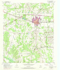
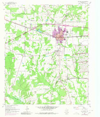
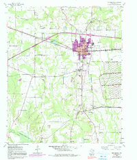
New Boston serves as the focal point of this mid-century survey, illustrating a period of significant regional growth and military importance in Bowie County. The town is physically divided by the Texas and Pacific Railroad railroad line, while the southeastern corner is dominated by the sprawling Red River Arsenal, its boundaries and pipe lines clearly marked. This map reveals a unique local hierarchy of settlements, showing the original county seat at Boston and the nearby Old Boston, reflecting the shifting centers of civic life.
Find a feature on this map
46 named features on this map. Tap any name to fly to it.
Don’t see what you’re looking for? This feature index may not catch every label — zoom into the map to look around manually.
Map Details
Editions of this 1954 New Boston Map
4 editions found
Other maps of this area

1909 · New Boston
USGS Topo · 1:62,500

1930 · Bassett
USGS Topo · 1:62,500

1950 · Redbank
USGS Topo · 1:24,000

1950 · De Kalb
USGS Topo · 1:24,000

1951 · De Kalb
USGS Topo · 1:24,000

1951 · Redbank
USGS Topo · 1:24,000

1951 · Daniels Chapel
USGS Topo · 1:24,000

1953 · Texarkana
USGS Topo · 1:250,000

1954 · Hooks
USGS Topo · 1:24,000

1955 · Corley
USGS Topo · 1:24,000