
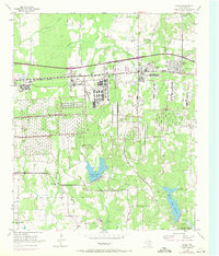
1954 Map of Hooks
USGS Topo · Published 1955About this map
Red River Arsenal dominates the mid-century landscape of Bowie County, where massive munitions storage bunkers and rail infrastructure contrast with the rural Texas countryside. Situated between Whaley and Hooks, the facility's extensive Pipe Line network and interior rail spurs reflect its strategic importance during the 1950s. The surrounding area remains deeply connected to its agricultural and community roots, evidenced by the numerous family plots and churchyards such as Wilder Cem, Runnels Cem, and Rock Creek Ch.
Find a feature on this map
38 named features on this map. Tap any name to fly to it.
Don’t see what you’re looking for? This feature index may not catch every label — zoom into the map to look around manually.
Map Details
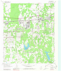
Editions of this 1954 Hooks Map
Other maps of this area

1909 · New Boston
USGS Topo · 1:62,500

1909 · Texarkana
USGS Topo · 1:62,500

1950 · Redbank
USGS Topo · 1:24,000

1950 · Barkman
USGS Topo · 1:24,000

1951 · Redbank
USGS Topo · 1:24,000

1951 · Barkman
USGS Topo · 1:24,000

1951 · Daniels Chapel
USGS Topo · 1:24,000

1953 · Texarkana
USGS Topo · 1:250,000

1954 · New Boston
USGS Topo · 1:24,000

1954 · Leary
USGS Topo · 1:24,000