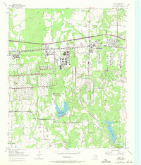
1954 Map of Hooks
USGS Topo · Published 1971About this map
The sprawling Red River Arsenal dominates this Bowie County landscape, defining the industrial and military character of the region during the mid-20th century. The facility's extensive network of rail lines and storage structures sits south of the Texas and Pacific railroad, which links the settlements of Whaley and Hooks. This 1954 survey, with purple revisions from 1970, illustrates the transformation of rural East Texas into a strategic military hub while still preserving the locations of earlier community life. Genealogists will find a wealth of family-named landmarks, including the Wilder Cem, Tidwell Cem, and Mullins Cem. Water management is prominent in the southern half of the sheet, where Caney Creek Reservoir and Elliott Creek Reservoir sit alongside the winding path of Nettles Creek. The map also captures local institutions like the Full Gospel Mission and East Hooks Sch.
Find a feature on this map
29 named features on this map. Tap any name to fly to it.
Don’t see what you’re looking for? This feature index may not catch every label — zoom into the map to look around manually.
Map Details
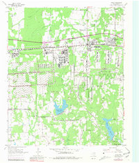
Editions of this 1954 Hooks Map

Other maps of this area

1909 · New Boston
USGS Topo · 1:62,500

1909 · Texarkana
USGS Topo · 1:62,500

1950 · Redbank
USGS Topo · 1:24,000

1950 · Barkman
USGS Topo · 1:24,000

1951 · Redbank
USGS Topo · 1:24,000

1951 · Barkman
USGS Topo · 1:24,000

1951 · Daniels Chapel
USGS Topo · 1:24,000

1953 · Texarkana
USGS Topo · 1:250,000

1954 · New Boston
USGS Topo · 1:24,000

1954 · Leary
USGS Topo · 1:24,000