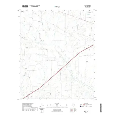
2019 Map of Malta
USGS Topo · Published 2019About this map
The settlement of Malta and the eastern edge of De Kalb anchor this northeast Texas landscape, where the terrain is defined by a dense network of creek drainages and small prairies. The area is characterized by its transition from the more open Little Prairie into the wooded bottomlands of the Red Bayou. A complex system of waterways, including Anderson Cr and Weaver Cr, carves through the countryside, joined by smaller tributaries like Austin Chapel Br and Russet Cr. This drainage pattern has historically influenced the placement of farms and local roads, such as FM 1840 and FM 990, which connect these rural communities across the undulating Bowie County terrain. The survey captures the area's agricultural and hydrological layout, showing how the land was managed and divided among local landowners via a web of numbered county roads.
Find a feature on this map
72 named features on this map. Tap any name to fly to it.
Don’t see what you’re looking for? This feature index may not catch every label — zoom into the map to look around manually.
Map Details
Editions of this 2019 Malta Map
This is the sole edition of this map. No revisions or reprints were ever made.
Other maps of this area

1909 · New Boston
USGS Topo · 1:62,500

1930 · Bassett
USGS Topo · 1:62,500

1950 · De Kalb
USGS Topo · 1:24,000

1950 · Oak Grove
USGS Topo · 1:24,000

1951 · De Kalb
USGS Topo · 1:24,000

1951 · Oak Grove
USGS Topo · 1:24,000

1951 · Daniels Chapel
USGS Topo · 1:24,000

1953 · Texarkana
USGS Topo · 1:250,000

1954 · New Boston
USGS Topo · 1:24,000

1955 · Corley
USGS Topo · 1:24,000