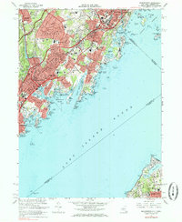
1967 Map of Mamaroneck
USGS Topo · Published 1985About this map
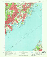
White Plains and the adjacent shoreline of Long Island Sound are defined by the dense suburban maturation of the mid-1960s. The landscape is carved by major transit arteries, including the New England Thruway and Hutchinson River Parkway, which facilitate the rapid growth of Harrison, Mamaroneck, and Rye. Despite this modernization, local history remains visible in the numerous small burial grounds and institutional landmarks such as Haviland Cem, Gedney Cem, and the Osborn Mem Home.
Find a feature on this map
129 named features on this map. Tap any name to fly to it.
Don’t see what you’re looking for? This feature index may not catch every label — zoom into the map to look around manually.
Map Details
Editions of this 1967 Mamaroneck Map
2 editions found
Other maps of this area

1891 · Harlem
USGS Topo · 1:62,500

1892 · Stamford
USGS Topo · 1:62,500

1892 · Tarrytown
USGS Topo · 1:62,500

1893 · Stamford
USGS Topo · 1:62,500

1893 · Tarrytown
USGS Topo · 1:62,500

1897 · Harlem
USGS Topo · 1:62,500

1897 · Oyster Bay
USGS Topo · 1:62,500

1898 · Harlem
USGS Topo · 1:62,500

1898 · Oyster Bay
USGS Topo · 1:62,500

1899 · Stamford
USGS Topo · 1:62,500