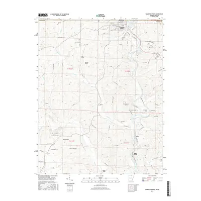
2017 Map of Mammoth Spring
USGS Topo · Published 2017About this map
Mammoth Spring anchors this portion of the Ozark Plateau along the border between Arkansas and Missouri, where the massive spring headwater feeds the Spring River. This waterway served as a vital corridor for both the BNSF Railway and local settlements, carving through deep valleys like Big Cottonwood Hollow and creating natural landmarks such as Horseshoe Bend and the Needles Eye. The landscape is a network of ridges and drainages including English Cr and Myatt Cr, populated by rural communities and small family landmarks. Genealogists can find numerous historic burial grounds scattered across the terrain, from Whiteside Cem in the northwest to Taylor Cem in the southeast. Significant local sites like the Mammoth Spring Sch, Bethel Ch, and river crossings at Baker Ford illustrate the established social and transport infrastructure of the Fulton County area in the early 21st century.
Find a feature on this map
117 named features on this map. Tap any name to fly to it.
Don’t see what you’re looking for? This feature index may not catch every label — zoom into the map to look around manually.
Map Details
Editions of this 2017 Mammoth Spring Map
This is the sole edition of this map. No revisions or reprints were ever made.
Other maps of this area

1943 · Thayer
USGS Topo · 1:62,500

1944 · Couch
USGS Topo · 1:62,500

1946 · Thayer
USGS Topo · 1:62,500

1946 · Couch
USGS Topo · 1:62,500

1957 · Poplar Bluff
USGS Topo · 1:250,000

1959 · Poplar Bluff
USGS Topo · 1:250,000

1960 · Poplar Bluff
USGS Topo · 1:250,000

1962 · Stuart
USGS Topo · 1:24,000

1962 · Agnos
USGS Topo · 1:24,000

1962 · Mammoth Spring
USGS Topo · 1:24,000