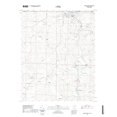
2020 Map of Mammoth Spring
USGS Topo · Published 2020About this map
Mammoth Spring serves as the focal point of this region, where the state line between Arkansas and Missouri divides the towns of Thayer and Mammoth Spring. The landscape is defined by the winding course of the Spring River, which flows southward through a series of significant river features including Cottonwood Falls, Saddler Falls, and the Needles Eye near Horseshoe Bend. The drainage network is dense, fed by numerous tributaries such as Myatt Creek, English Cr, and Wolf Cr.
Find a feature on this map
118 named features on this map. Tap any name to fly to it.
Don’t see what you’re looking for? This feature index may not catch every label — zoom into the map to look around manually.
Map Details
Editions of this 2020 Mammoth Spring Map
This is the sole edition of this map. No revisions or reprints were ever made.
Other maps of this area

1943 · Thayer
USGS Topo · 1:62,500

1944 · Couch
USGS Topo · 1:62,500

1946 · Thayer
USGS Topo · 1:62,500

1946 · Couch
USGS Topo · 1:62,500

1957 · Poplar Bluff
USGS Topo · 1:250,000

1959 · Poplar Bluff
USGS Topo · 1:250,000

1960 · Poplar Bluff
USGS Topo · 1:250,000

1962 · Stuart
USGS Topo · 1:24,000

1962 · Agnos
USGS Topo · 1:24,000

1962 · Mammoth Spring
USGS Topo · 1:24,000