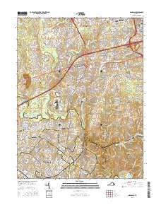
2016 Map of Manassas
USGS Topo · Published 2016About this map
Centreville and the surrounding suburban corridors of Northern Virginia are documented here during a period of significant residential and commercial densification. The landscape is a dense network of modern subdivisions and established communities like Yorkshire, Chantilly, and Manassas Park. Despite the rapid growth, numerous historical family plots remain preserved within the modern street grid, including the Butler Jones Family Cemetery near Uniontown and the Stewart Family Cemetery in Fair Oaks.
Find a feature on this map
68 named features on this map. Tap any name to fly to it.
Don’t see what you’re looking for? This feature index may not catch every label — zoom into the map to look around manually.
Map Details
Editions of this 2016 Manassas Map
This is the sole edition of this map. No revisions or reprints were ever made.
Other maps of this area

1890 · Mt. Vernon
USGS Topo · 1:125,000

1891 · Mt. Vernon
USGS Topo · 1:125,000

1894 · Warrenton
USGS Topo · 1:125,000

1894 · Mt. Vernon
USGS Topo · 1:125,000

1897 · Mt. Vernon
USGS Topo · 1:125,000

1915 · Fairfax
USGS Topo · 1:62,500

1927 · Quantico
USGS Topo · 1:62,500

1933 · Middleburg
USGS Topo · 1:62,500

1940 · Quantico
USGS Topo · 1:62,500

1943 · Quantico
USGS Topo · 1:62,500