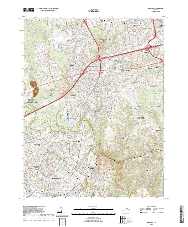
2022 Map of Manassas
USGS Topo · Published 2022About this map
Manassas National Battlefield Park and the preserved lands of the Culpeper Basin define the western reaches of this Northern Virginia corridor. The landscape is a dense network of suburban development and historical preservation, where major thoroughfares like the Custis Trail intersect with family legacies recorded in numerous small burial grounds. Genealogists and local historians will find significant detail in the mapping of family-named cemeteries, including the Stewart Family Cem and the Turberville - Debell Family Cem.
Find a feature on this map
83 named features on this map. Tap any name to fly to it.
Don’t see what you’re looking for? This feature index may not catch every label — zoom into the map to look around manually.
Map Details
Editions of this 2022 Manassas Map
This is the sole edition of this map. No revisions or reprints were ever made.
Other maps of this area

1890 · Mt. Vernon
USGS Topo · 1:125,000

1891 · Mt. Vernon
USGS Topo · 1:125,000

1894 · Warrenton
USGS Topo · 1:125,000

1894 · Mt. Vernon
USGS Topo · 1:125,000

1897 · Mt. Vernon
USGS Topo · 1:125,000

1915 · Fairfax
USGS Topo · 1:62,500

1927 · Quantico
USGS Topo · 1:62,500

1933 · Middleburg
USGS Topo · 1:62,500

1940 · Quantico
USGS Topo · 1:62,500

1943 · Quantico
USGS Topo · 1:62,500