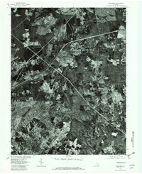
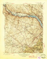
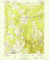
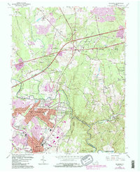
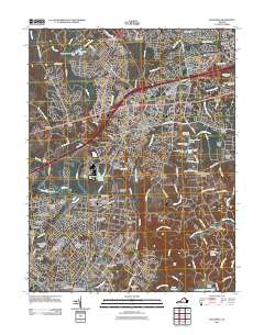
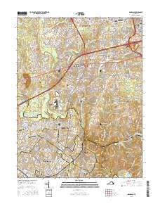
1977 Map of Manassas
USGS Topo · Published 1982About this map
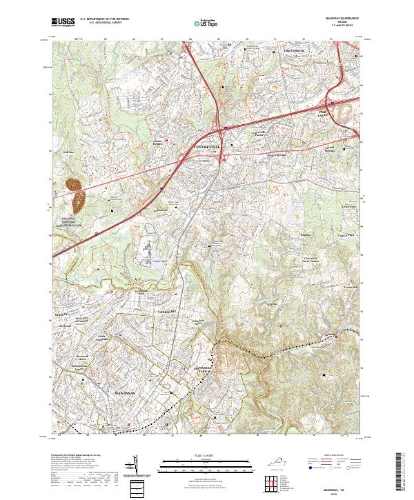
Manassas and Manassas Park appear in transition during the late 1970s, shown through the detailed lens of an orthophotoquad. The imagery reveals the advancing suburban footprint against a backdrop of established timber and farmland. Major transportation corridors slice through the landscape, connecting the growing residential blocks of Centreville and Edgelea with the historic crossroads at Compton Corner.
Find a feature on this map
11 named features on this map. Tap any name to fly to it.
Don’t see what you’re looking for? This feature index may not catch every label — zoom into the map to look around manually.
Map Details
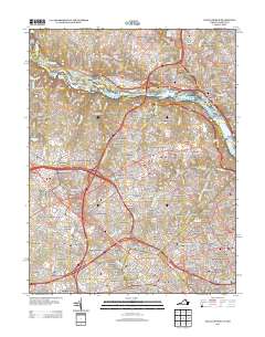
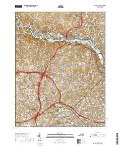
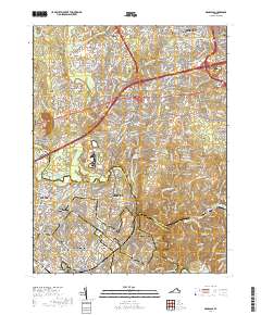
Editions of this 1977 Manassas Map
This is the sole edition of this map. No revisions or reprints were ever made.
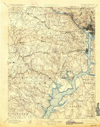
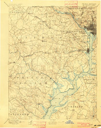
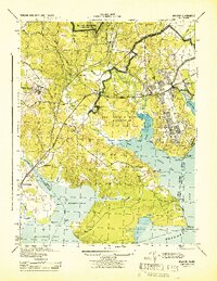
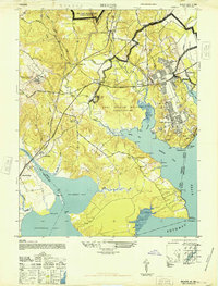
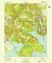
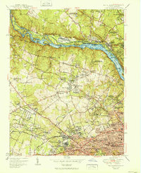
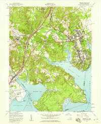
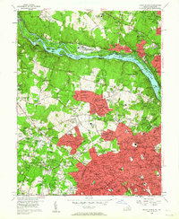
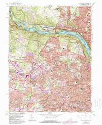
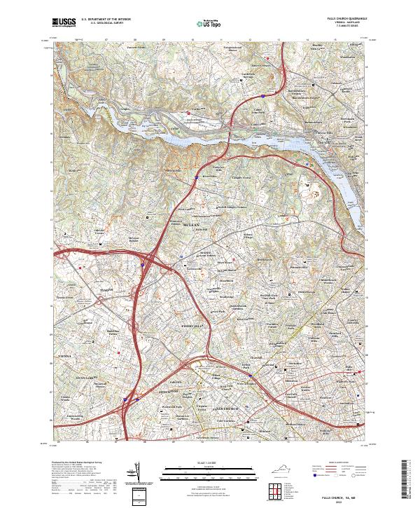
Historical Maps of Centreville Through Time
29 maps found

1890 Mt. Vernon
Fairfax County, VA

1891 Mt. Vernon
Fairfax County, VA
1894 Mt. Vernon
Fairfax County, VA
1897 Mt. Vernon
Fairfax County, VA
1944 Belvoir
Fairfax County, VA
1945 Falls Church
Fairfax County, VA
1948 Belvoir
Fairfax County, VA
1951 Belvoir
Fairfax County, VA
1951 Falls Church
Fairfax County, VA
1951 Manassas
Fairfax County, VA
1956 Belvoir
Fairfax County, VA
1956 Falls Church
Fairfax County, VA

1957 Manassas
Fairfax County, VA
1965 Falls Church
Fairfax County, VA
1966 Manassas
Fairfax County, VA
1977 Manassas
Fairfax County, VA

1990 Manassas
Fairfax County, VA
1994 Falls Church
Fairfax County, VA
1994 Manassas
Fairfax County, VA
2011 Falls Church
Fairfax County, VA
2011 Manassas
Fairfax County, VA
2013 Falls Church
Fairfax County, VA
2013 Manassas
Fairfax County, VA
2016 Falls Church
Fairfax County, VA
2016 Manassas
Fairfax County, VA
2019 Falls Church
Fairfax County, VA
2019 Manassas
Fairfax County, VA
2022 Falls Church
Fairfax County, VA
2022 Manassas
Fairfax County, VA