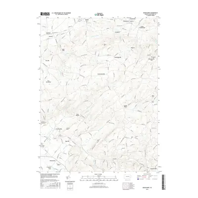
2016 Map of Manatawny
USGS Topo · Published 2016About this map
Mountain Marys Grave and numerous family burial grounds define the cultural landscape of this Berks County region. The topography is dominated by Topton Mtn and the narrow passes of Rittenhouse Gap and Gap Hill, which historically dictated the paths of travel between early settlements. Small communities like Bowers, Sally Ann, and Landis Store are linked by a dense network of country roads, many named for the families who settled the valleys, such as Angstadt Rd and Deysher Rd.
Find a feature on this map
184 named features on this map. Tap any name to fly to it.
Don’t see what you’re looking for? This feature index may not catch every label — zoom into the map to look around manually.
Map Details
Editions of this 2016 Manatawny Map
This is the sole edition of this map. No revisions or reprints were ever made.
Other maps of this area

1894 · Reading
USGS Topo · 1:62,500

1902 · Boyertown
USGS Topo · 1:62,500

1902 · Slatington
USGS Topo · 1:62,500

1909 · Hamburg
USGS Topo · 1:62,500

1911 · Hamburg
USGS Topo · 1:62,500

1913 · Reading
USGS Topo · 1:62,500

1915 · Reading
USGS Topo · 1:62,500
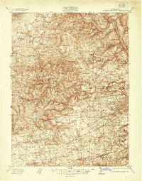
1937 · Allentown West
USGS Topo · 1:48,000
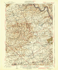
1942 · Allentown West
USGS Topo · 1:62,500
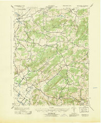
1943 · Manatawny
USGS Topo · 1:31,680