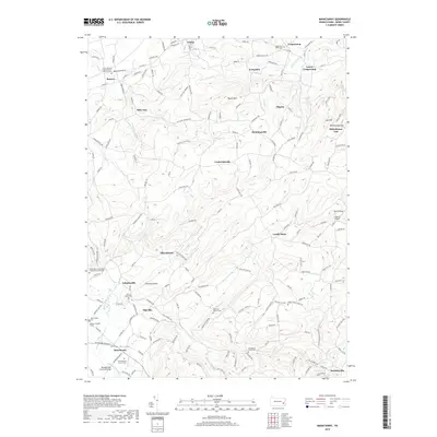
2019 Map of Manatawny
USGS Topo · Published 2019About this map
Mountain Marys Grave sits as a quiet landmark within the rolling landscape of Berks County, an area defined by its deep Pennsylvania German roots and dispersed rural settlements. Small hamlets such as Lobachsville and Pikeville anchor the local road network, which winds through valleys carved by watercourses like Manatawny Creek and Sacony Cr. The map reveals a high density of family and community history, evidenced by numerous burial sites including the Jacob Keim Farmstead Family Burial Ground and the Hoch Family Cem. These sites, along with the Pleasantville Covered Bridge, reflect a preserved cultural landscape where agricultural heritage persists alongside newer additions like the Area 52 Airport. From the heights of Topton Mtn to the narrow passage at Rittenhouse Gap, the topography heavily influenced the placement of old schoolhouse creeks and early farmsteads in the Oley Valley.
Find a feature on this map
60 named features on this map. Tap any name to fly to it.
Don’t see what you’re looking for? This feature index may not catch every label — zoom into the map to look around manually.
Map Details
Editions of this 2019 Manatawny Map
This is the sole edition of this map. No revisions or reprints were ever made.
Other maps of this area

1894 · Reading
USGS Topo · 1:62,500

1902 · Boyertown
USGS Topo · 1:62,500

1902 · Slatington
USGS Topo · 1:62,500

1909 · Hamburg
USGS Topo · 1:62,500

1911 · Hamburg
USGS Topo · 1:62,500

1913 · Reading
USGS Topo · 1:62,500

1915 · Reading
USGS Topo · 1:62,500

1937 · Allentown West
USGS Topo · 1:48,000

1942 · Allentown West
USGS Topo · 1:62,500

1943 · Manatawny
USGS Topo · 1:31,680