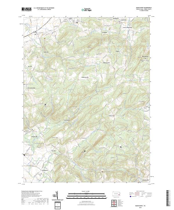
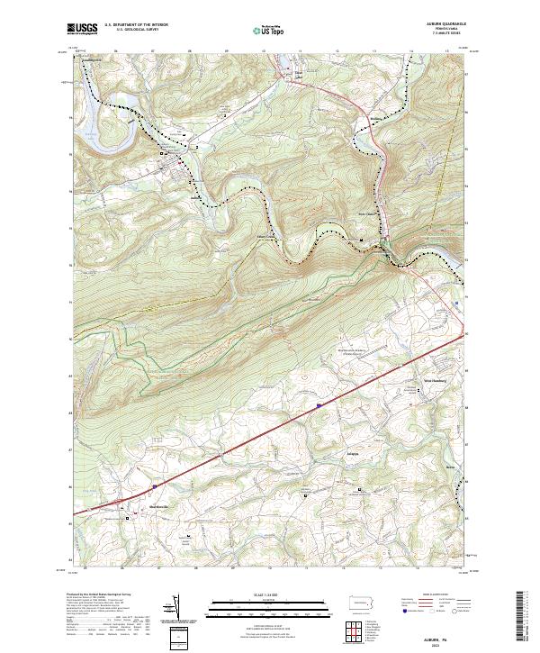
2023 Map of Manatawny
USGS Topo · Published 2023About this map
Mountain Marys Grave and the surrounding heights of Topton Mountain define this section of the Oley Valley, a landscape deeply rooted in Pennsylvania German heritage and rural industry. The terrain is marked by family legacies, from the Jacob Keim Farmstead Family Burial Ground to the Ruppert Family Cem, illustrating the early settlement patterns of Berks County. Small hamlets like Lobachsville, Fredericksville, and New Jerusalem are connected by a network of drainage systems including Sacony Creek and Bieber Creek. The geography here transitions from the low-lying agricultural basins to the prominent ridges of Chimney Rocks and the distinctive pass at Rittenhouse Gap. Local landmarks such as the Area 52 Airport and multiple hilltop cemeteries like Hill Church Union Cem provide specific points of interest for genealogists and local historians tracking the evolution of these crossroads communities.
Find a feature on this map
65 named features on this map. Tap any name to fly to it.
Don’t see what you’re looking for? This feature index may not catch every label — zoom into the map to look around manually.
Map Details
Editions of this 2023 Manatawny Map
This is the sole edition of this map. No revisions or reprints were ever made.
Historical Maps of Earl Township Through Time
11 maps found

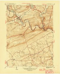
1943 Manatawny
Berks County, PA
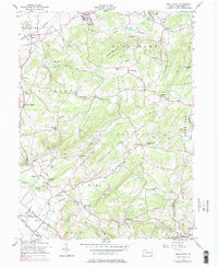
1945 Auburn
Berks County, PA
1946 Auburn
Berks County, PA
1955 Bethel
Berks County, PA
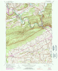
1957 Manatawny
Berks County, PA
1992 Bethel
Berks County, PA

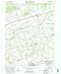
1999 Auburn
Berks County, PA
1999 Manatawny
Berks County, PA
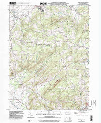
2023 Auburn
Berks County, PA
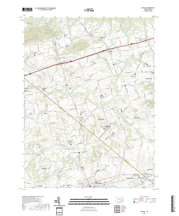
2023 Bethel
Berks County, PA
2023 Manatawny
Berks County, PA