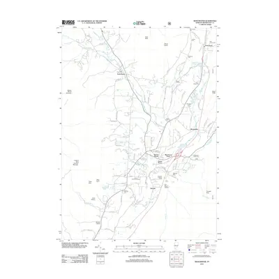
2012 Map of Manchester
USGS Topo · Published 2012About this map
Batten Kill LN valley defines the central corridor of this survey, where the river and its branches move through a landscape of historic Vermont villages and mountain gaps. The area shows a high density of ancestral burial grounds, including the Old Catholic Cem and Saint Jeromes Cem in the north near East Dorset, and the large Dellwood Cem to the south. Along the eastern slopes of Mount Aeolus and Mother Myrick Mountain, the map documents the transition from early industrial and agricultural settlements to recreation, featuring the Manchester Golf Course and the Hildene Winter Sports Area. Small community clusters like South Dorset, Barnumville, and Richville are mapped with precision, showing the layout of local roads and family-named cemeteries such as the Oreb Taylor Family Cem and Roberts Family Cem that provide valuable data for regional genealogy.
Find a feature on this map
102 named features on this map. Tap any name to fly to it.
Don’t see what you’re looking for? This feature index may not catch every label — zoom into the map to look around manually.
Map Details
Editions of this 2012 Manchester Map
This is the sole edition of this map. No revisions or reprints were ever made.
Other maps of this area

1893 · Wallingford
USGS Topo · 1:62,500

1894 · Londonderry
USGS Topo · 1:62,500

1894 · Pawlet
USGS Topo · 1:62,500

1894 · Equinox
USGS Topo · 1:62,500

1896 · Equinox
USGS Topo · 1:62,500

1897 · Pawlet
USGS Topo · 1:62,500

1899 · Londonderry
USGS Topo · 1:62,500

1900 · Equinox
USGS Topo · 1:62,500

1903 · Mettawee
USGS Topo · 1:125,000

1950 · Glens Falls
USGS Topo · 1:250,000