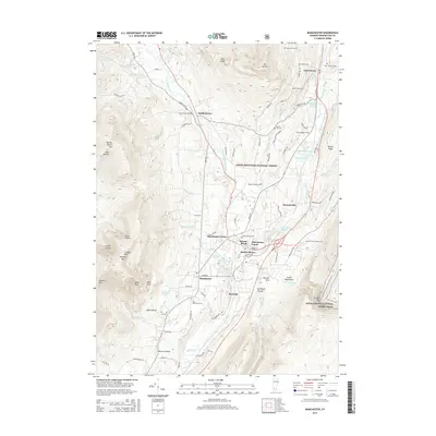
2015 Map of Manchester
USGS Topo · Published 2015About this map
Manchester Center and Manchester Depot serve as the primary hubs for this region of the Green Mountains, where the valley floors are tightly bound by high peaks. The drainage of the Batten Kill and its various branches, such as the W Br Batten Kill, dictates the placement of settlements like South Dorset and Richville. Several family burial grounds and historical plots, including the Roberts Family Cem and Oreb Taylor Family Cem, are situated throughout the landscape, providing valuable points of reference for genealogists. The eastern portion of the map is defined by the Green Mountain National Forest, through which the Appalachian National Scenic Trail winds. High-elevation landmarks like Equinox Mtn and Mt Aeolus overlook the developed corridors of the valley, while smaller ponds like Dufresne Pond and Equinox Pond dot the lowlands.
Find a feature on this map
95 named features on this map. Tap any name to fly to it.
Don’t see what you’re looking for? This feature index may not catch every label — zoom into the map to look around manually.
Map Details
Editions of this 2015 Manchester Map
This is the sole edition of this map. No revisions or reprints were ever made.
Other maps of this area

1893 · Wallingford
USGS Topo · 1:62,500

1894 · Londonderry
USGS Topo · 1:62,500

1894 · Pawlet
USGS Topo · 1:62,500

1894 · Equinox
USGS Topo · 1:62,500

1896 · Equinox
USGS Topo · 1:62,500

1897 · Pawlet
USGS Topo · 1:62,500

1899 · Londonderry
USGS Topo · 1:62,500

1900 · Equinox
USGS Topo · 1:62,500

1903 · Mettawee
USGS Topo · 1:125,000

1950 · Glens Falls
USGS Topo · 1:250,000