
1944 Map of Manchester
USGS Topo · Published 1944About this map
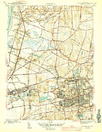
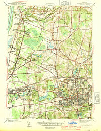
Manchester and South Manchester serve as the industrial and residential heart of this mid-1940s landscape, where dense street grids meet the winding Hockanum River. The region’s economic lifeblood is clearly tied to the New York New Haven and Hartford RR, which connects the manufacturing centers of Burnside and Hillardville to the broader Connecticut corridor. To the north and west, the terrain transitions into a patchwork of rural settlements and smaller communities like Wapping and East Windsor Hill, characterized by a high concentration of educational and religious institutions. Genealogists can trace family heritage through numerous burial grounds, including the Jonathan Edwards Cem and St Bridgets Cem. The presence of several high schools, such as Manchester High Sch and Ellsworth High Sch, alongside numerous neighborhood schools like Pleasant Valley Sch and Bunce Sch, illustrates the organized expansion of these suburban townships during the war years.
Find a feature on this map
76 named features on this map. Tap any name to fly to it.
Don’t see what you’re looking for? This feature index may not catch every label — zoom into the map to look around manually.
Map Details
Editions of this 1944 Manchester Map
3 editions found
Other maps of this area

1892 · Hartford
USGS Topo · 1:62,500

1892 · Tolland
USGS Topo · 1:62,500

1892 · Gilead
USGS Topo · 1:62,500

1893 · Middletown
USGS Topo · 1:62,500

1906 · Farmington
USGS Topo · 1:125,000

1921 · Tolland
USGS Topo · 1:62,500

1928 · Windsor Locks
USGS Topo · 1:24,000

1928 · Windsor
USGS Topo · 1:24,000

1928 · Glastonbury
USGS Topo · 1:24,000

1928 · Broad Brook
USGS Topo · 1:24,000