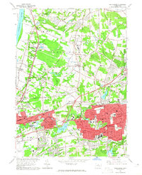
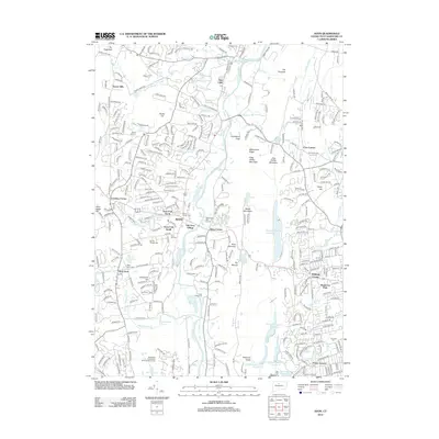
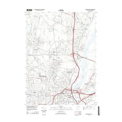
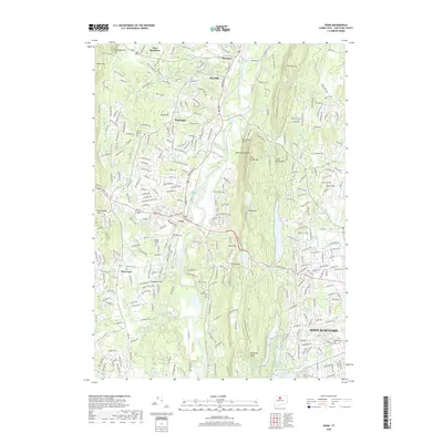
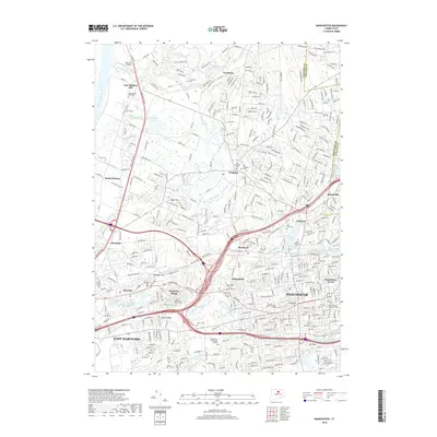
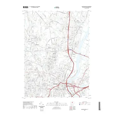
1963 Map of Manchester
USGS Topo · Published 1965About this map
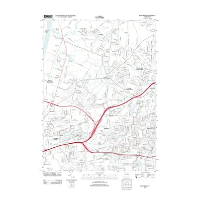
Manchester and East Hartford appear at a moment of significant post-war expansion, with dense residential neighborhoods filling the space between established centers like Burnside and Manchester Green. The landscape is transitioning from its agricultural roots toward a suburban industrial corridor, evidenced by the numerous Sand and Gravel Pits that dot the terrain near Wapping and Buckland. The New York New Haven and Hartford Railroad and the Wilbur Cross Highway serve as primary arteries, anchoring the region's transport network.
Find a feature on this map
77 named features on this map. Tap any name to fly to it.
Don’t see what you’re looking for? This feature index may not catch every label — zoom into the map to look around manually.
Map Details
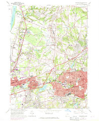
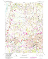
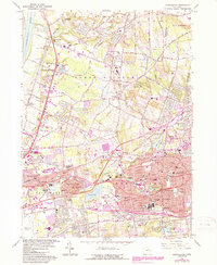
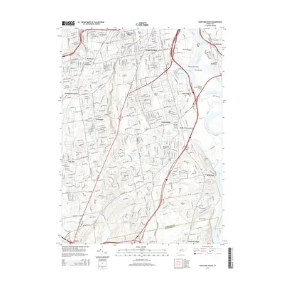
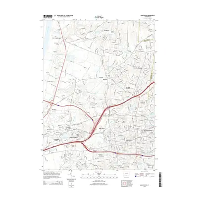
Editions of this 1963 Manchester Map
5 editions found
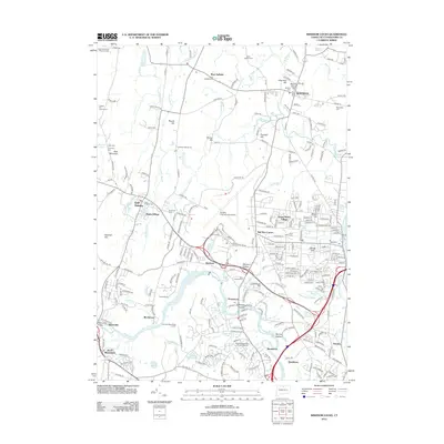
Historical Maps of Manchester Through Time
54 maps found

1892 Granby
Hartford County, CT

1906 Farmington
Hartford County, CT

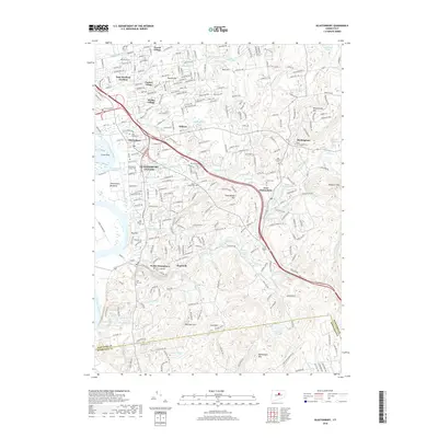
1928 Glastonbury
Hartford County, CT

1928 Manchester
Hartford County, CT

1928 Mittineague
Hartford County, CT

1928 Windsor
Hartford County, CT

1928 Windsor Locks
Hartford County, CT

1944 Hartford South
Hartford County, CT

1944 Manchester
Hartford County, CT

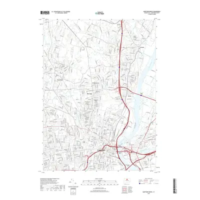
1945 Hartford North
Hartford County, CT

1946 Glastonbury
Hartford County, CT

1946 Windsor Locks
Hartford County, CT

1951 Avon
Hartford County, CT

1952 Hartford North
Hartford County, CT

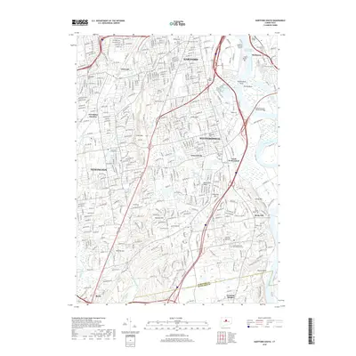
1952 Hartford South
Hartford County, CT

1952 Manchester
Hartford County, CT

1953 Glastonbury
Hartford County, CT

1953 Windsor Locks
Hartford County, CT

1957 Avon
Hartford County, CT

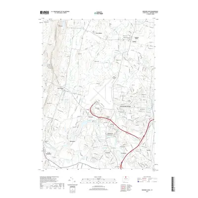
1963 Manchester
Hartford County, CT

1964 Glastonbury
Hartford County, CT

1964 Hartford North
Hartford County, CT

1964 Hartford South
Hartford County, CT

1964 Windsor Locks
Hartford County, CT
2012 Avon
Hartford County, CT
2012 Glastonbury
Hartford County, CT
2012 Hartford North
Hartford County, CT
2012 Hartford South
Hartford County, CT
2012 Manchester
Hartford County, CT
2012 Windsor Locks
Hartford County, CT
2015 Avon
Hartford County, CT
2015 Glastonbury
Hartford County, CT
2015 Hartford North
Hartford County, CT
2015 Hartford South
Hartford County, CT
2015 Manchester
Hartford County, CT
2015 Windsor Locks
Hartford County, CT
2018 Avon
Hartford County, CT
2018 Glastonbury
Hartford County, CT
2018 Hartford North
Hartford County, CT
2018 Hartford South
Hartford County, CT
2018 Manchester
Hartford County, CT
2018 Windsor Locks
Hartford County, CT
2021 Avon
Hartford County, CT
2021 Glastonbury
Hartford County, CT
2021 Hartford North
Hartford County, CT
2021 Hartford South
Hartford County, CT
2021 Manchester
Hartford County, CT
2021 Windsor Locks
Hartford County, CT

2024 Avon
Hartford County, CT

2024 Glastonbury
Hartford County, CT

2024 Hartford North
Hartford County, CT

2024 Hartford South
Hartford County, CT

2024 Manchester
Hartford County, CT

2024 Windsor Locks
Hartford County, CT