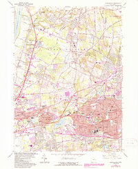
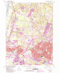
1963 Map of Manchester
USGS Topo · Published 1988About this map
The Connecticut River and the Scantic River define the western reaches of this Hartford County landscape during a period of significant suburban expansion and industrial transition. In the north, East Windsor Hill and Wapping maintain their traditional character, while the growing urban centers of Manchester and East Hartford are increasingly connected by a complex network of highways and Conrail rail lines. The presence of numerous Sand and Gravel Pits and Claypits south of Bancroft indicates the local extraction industries that fueled the region's development.
Find a feature on this map
102 named features on this map. Tap any name to fly to it.
Don’t see what you’re looking for? This feature index may not catch every label — zoom into the map to look around manually.
Map Details
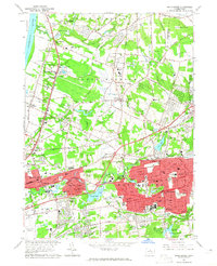
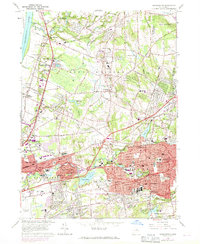
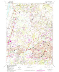
Editions of this 1963 Manchester Map
5 editions found
Other maps of this area

1892 · Hartford
USGS Topo · 1:62,500

1892 · Tolland
USGS Topo · 1:62,500

1892 · Gilead
USGS Topo · 1:62,500

1893 · Middletown
USGS Topo · 1:62,500

1906 · Farmington
USGS Topo · 1:125,000

1921 · Tolland
USGS Topo · 1:62,500

1928 · Windsor Locks
USGS Topo · 1:24,000

1928 · Windsor
USGS Topo · 1:24,000

1928 · Glastonbury
USGS Topo · 1:24,000

1928 · Broad Brook
USGS Topo · 1:24,000