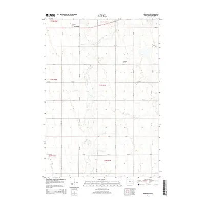
2015 Map of Manchester
USGS Topo · Published 2015About this map
The small settlement of Manchester sits along the northern edge of this Kingsbury County landscape, positioned within the high plains of the Coteau des Prairies. This terrain is defined by a glacial plateau that creates a unique drainage pattern, most notably carved by the winding course of Redstone Cr, which meanders from north to south across the central part of the quadrangle. The map captures the highly structured township and range system of South Dakota, with a rigid grid of rural roads including Stephen St, 208th St, and 425th Ave that delineate the agricultural sections. The sparse concentration of structures outside the main village reflects the modern rural character of the region, where the primary topographic interest lies in the subtle elevation changes of the Coteau and its occasional wetland depressions.
Find a feature on this map
25 named features on this map. Tap any name to fly to it.
Don’t see what you’re looking for? This feature index may not catch every label — zoom into the map to look around manually.
Map Details
Editions of this 2015 Manchester Map
This is the sole edition of this map. No revisions or reprints were ever made.
Other maps of this area

1899 · De Smet
USGS Topo · 1:125,000

1953 · Watertown
USGS Topo · 1:250,000

1958 · Watertown
USGS Topo · 1:250,000

1971 · Iroquois
USGS Topo · 1:24,000

1971 · Howard NE
USGS Topo · 1:24,000

1971 · Bancroft East
USGS Topo · 1:24,000

1971 · De Smet
USGS Topo · 1:24,000

1971 · Bancroft West
USGS Topo · 1:24,000

1971 · De Smet SE
USGS Topo · 1:24,000

1971 · Artesian NE
USGS Topo · 1:24,000