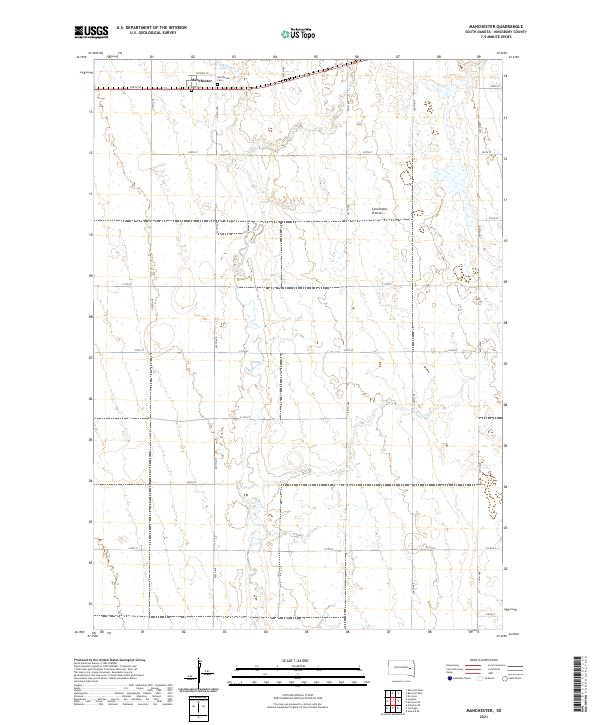
2021 Map of Manchester
USGS Topo · Published 2021About this map
Manchester sits at the northern edge of this high prairie landscape, established along the road network of Kingsbury County. This area of the Coteau des Prairies is defined by its glacial upland topography, where the drainage of Redstone Cr meanders southward through a grid of section lines and gravel roads. Local history is anchored by the presence of Manchester Cem and Dow Cem, which serve as quiet markers of the community's early settlement era. The map reveals a strictly organized rural landscape, with roads such as Stephen St and 425th Ave following the original land surveys of the 19th century. The intricate hydrography of the region is visible in the numerous small wetlands and basins that dot the terrain between the primary watercourses.
Find a feature on this map
28 named features on this map. Tap any name to fly to it.
Don’t see what you’re looking for? This feature index may not catch every label — zoom into the map to look around manually.
Map Details
Editions of this 2021 Manchester Map
This is the sole edition of this map. No revisions or reprints were ever made.
Other maps of this area

1899 · De Smet
USGS Topo · 1:125,000

1953 · Watertown
USGS Topo · 1:250,000

1958 · Watertown
USGS Topo · 1:250,000

1971 · Iroquois
USGS Topo · 1:24,000

1971 · Howard NE
USGS Topo · 1:24,000

1971 · Bancroft East
USGS Topo · 1:24,000

1971 · De Smet
USGS Topo · 1:24,000

1971 · Bancroft West
USGS Topo · 1:24,000

1971 · De Smet SE
USGS Topo · 1:24,000

1971 · Artesian NE
USGS Topo · 1:24,000