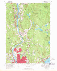
1968 Map of Manchester North
USGS Topo · Published 1971About this map
The Merrimack River serves as the central artery for this late-1960s survey, dictating the development patterns of Hooksett and northern Manchester. The landscape is defined by a dense corridor of transportation and industry, where the Boston and Maine Railroad and the Everett Turnpike parallel the river's path. While the southern portion of the map shows the northward expansion of Manchester's urban grid, including several religious and educational institutions like Notre Dame College and St Catherines Sch, the northern and eastern reaches remain significantly more open. The expansive Bear Brook State Park occupies the northeast corner, while smaller water bodies like Heads Pond and Clay Pond dot the wooded hills. Genealogists will find several burial grounds of interest, including the St Jean Baptiste Cem near Suncook and the Martin Cem located near the river bend at Martin.
Find a feature on this map
94 named features on this map. Tap any name to fly to it.
Don’t see what you’re looking for? This feature index may not catch every label — zoom into the map to look around manually.
Map Details
Editions of this 1968 Manchester North Map
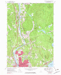
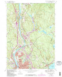
3 editions found
Other maps of this area

1905 · Manchester
USGS Topo · 1:62,500

1906 · Milford
USGS Topo · 1:62,500

1921 · Suncook
USGS Topo · 1:62,500

1927 · Concord
USGS Topo · 1:62,500

1941 · Manchester
USGS Topo · 1:62,500

1943 · Lowell
USGS Topo · 1:125,000

1943 · Fitchburg
USGS Topo · 1:125,000

1944 · Suncook
USGS Topo · 1:62,500

1948 · Boston
USGS Topo · 1:250,000

1949 · Portland
USGS Topo · 1:250,000