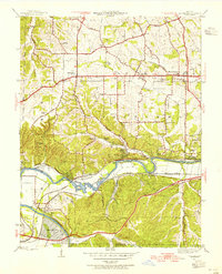
1945 Map of Manchester
USGS Topo · Published 1955About this map
The Meramec River carves a winding path through this mid-century landscape, anchoring a series of riverside settlements and recreational sites. Along the northern tier, the established communities of Manchester, Ballwin, and Ellisville follow the alignment of Manchester Road, reflecting the steady expansion of western St. Louis County. The southern portion of the sheet is dominated by the river's rugged curves and the industrial footprints of the St Louis San Francisco and Missouri Pacific railroads. Notable local landmarks include the planned community of Times Beach and the riverfront areas of Castlewood and Fern Glen. Local history is preserved through scattered rural education sites like Oak Ridge Sch and Alt Sch, while natural features such as Sontags Spring and Cedar Bluff highlight the area's diverse topography before later suburban development fully transformed the corridor.
Find a feature on this map
51 named features on this map. Tap any name to fly to it.
Don’t see what you’re looking for? This feature index may not catch every label — zoom into the map to look around manually.
Map Details
Editions of this 1945 Manchester Map
This is the sole edition of this map. No revisions or reprints were ever made.
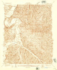
Other maps of this area

1901 · De Soto
USGS Topo · 1:125,000

1903 · O'Fallon
USGS Topo · 1:125,000

1912 · Kimmswick
USGS Topo · 1:62,500

1916 · Kimmswick
USGS Topo · 1:62,500

1931 · Manchester SE
USGS Topo · 1:24,000
1931 · Pacific NE
USGS Topo · 1:24,000

1932 · Manchester NE
USGS Topo · 1:24,000

1933 · Creve Coeur
USGS Topo · 1:24,000
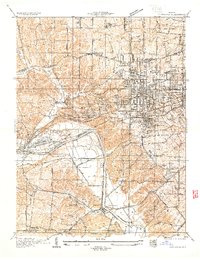
1933 · Kirkwood
USGS Topo · 1:24,000
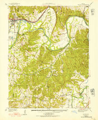
1937 · Pacific
USGS Topo · 1:24,000