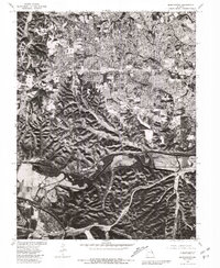
1979 Map of Manchester
USGS Topo · Published 1981About this map
Ballwin and Ellisville dominate the upper half of this orthophotoquad, showing the dense residential suburbanization of western St. Louis County during the late 1970s. The aerial imagery captures a distinct transition from these closely-packed neighborhoods to the more complex, wooded terrain surrounding the Meramec River to the south. Along the river’s winding course, the map documents the established layouts of Manchester and Valley Park, as well as the grid-like streets of Times Beach before its later evacuation. By combining photo imagery from 1979 with cadastral lines from a 1954 topographic base, the document provides a unique layered view of post-war development and the natural topography of the river basin.
Find a feature on this map
6 named features on this map. Tap any name to fly to it.
Don’t see what you’re looking for? This feature index may not catch every label — zoom into the map to look around manually.
Map Details
Editions of this 1979 Manchester Map
This is the sole edition of this map. No revisions or reprints were ever made.
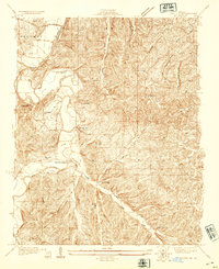
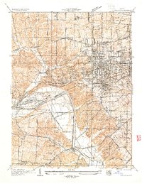
Other maps of this area

1901 · De Soto
USGS Topo · 1:125,000

1903 · O'Fallon
USGS Topo · 1:125,000

1912 · Kimmswick
USGS Topo · 1:62,500

1916 · Kimmswick
USGS Topo · 1:62,500

1931 · Manchester SE
USGS Topo · 1:24,000
1931 · Pacific NE
USGS Topo · 1:24,000

1932 · Manchester NE
USGS Topo · 1:24,000

1933 · Creve Coeur
USGS Topo · 1:24,000
1933 · Kirkwood
USGS Topo · 1:24,000
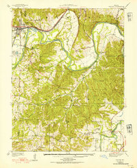
1937 · Pacific
USGS Topo · 1:24,000