2022 Map of Mancos
USGS Topo · Published 2022About this map
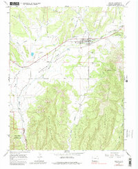
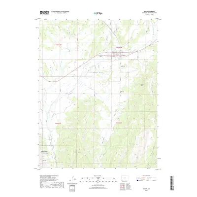
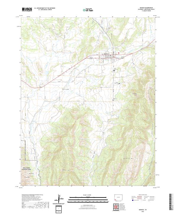
Mancos sits at the northern end of this 2022 survey, serving as a hub where the Mancos River flows toward the broad Mancos Valley. The landscape quickly transitions from the river valley into a complex network of canyons and high mesas. To the south, the terrain rises sharply toward Menefee Mtn and Weber Mtn, with deep incisions like Weber Canyon and Joes Canyon defining the rugged topography. The southwestern corner of the map reaches into Mesa Verde National Park, showing the East Rim of the famous plateau.
Find a feature on this map
63 named features on this map. Tap any name to fly to it.
Don’t see what you’re looking for? This feature index may not catch every label — zoom into the map to look around manually.
Map Details
Editions of this 2022 Mancos Map
This is the sole edition of this map. No revisions or reprints were ever made.
Historical Maps of Montezuma County Through Time
6 maps found