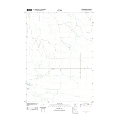
2012 Map of Manderson SW
USGS Topo · Published 2012About this map
Saint Anns Cem and Lamont Cem sit among a landscape defined by the winding drainages of the Pine Ridge region. The geography is characterized by several major creek systems, including the White Horse Cr, Fast Horse Cr, and Herd Camp Cr, which carve through the plains. Local transportation and access are facilitated by family-named routes such as Swift Bird Rd and Old Wolf Cr School Rd, reflecting the community-oriented infrastructure of the reservation. In the southwestern portion of the sheet, the Pine Ridge Airport and Wolf Creek Lake provide modern landmarks, while the Big Foot Trl follows a route of significant historical importance across the northern terrain. The map captures the specialized road network of the Oglala Lakota territory, where local thoroughfares like Wolf Cr Rd connect scattered rural sites and essential waterways.
Find a feature on this map
15 named features on this map. Tap any name to fly to it.
Don’t see what you’re looking for? This feature index may not catch every label — zoom into the map to look around manually.
Map Details
Editions of this 2012 Manderson SW Map
This is the sole edition of this map. No revisions or reprints were ever made.
Other maps of this area

1955 · Hot Springs
USGS Topo · 1:250,000

1955 · Alliance
USGS Topo · 1:250,000

1957 · Alliance
USGS Topo · 1:250,000

1958 · Alliance
USGS Topo · 1:250,000

1967 · Pine Ridge NE
USGS Topo · 1:24,000

1967 · Pine Ridge
USGS Topo · 1:24,000

1967 · Manderson
USGS Topo · 1:24,000

1967 · Manderson SW
USGS Topo · 1:24,000

1967 · Wounded Knee
USGS Topo · 1:24,000

1967 · Denby
USGS Topo · 1:24,000