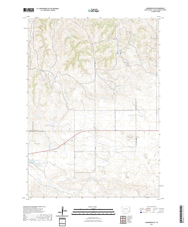
2021 Map of Manderson SW
USGS Topo · Published 2021About this map
White Horse Cr and Cheyenne Cr carve through this section of Oglala Lakota County, defining a landscape of complex drainage systems and ridges. The territory is marked by small local landmarks such as Lamont Cem in the north and Saint Ann's Cem situated near the intersection of Rainbow Pawn Rd and Herd Camp Cr. The road network provides evidence of historical land use and community centers, with routes like Old Wolf Cr Sch Rd and Swift Bird Rd connecting the various creek prongs. To the southwest, Wolf Cr Lake serves as a primary water feature, fed by the E Prong Wolf Cr and S Prong Wolf Cr. This 2021 survey illustrates the modern configuration of tribal lands and rural infrastructure along the historic Big Foot Trl.
Find a feature on this map
19 named features on this map. Tap any name to fly to it.
Don’t see what you’re looking for? This feature index may not catch every label — zoom into the map to look around manually.
Map Details
Editions of this 2021 Manderson SW Map
This is the sole edition of this map. No revisions or reprints were ever made.
Other maps of this area

1955 · Hot Springs
USGS Topo · 1:250,000

1955 · Alliance
USGS Topo · 1:250,000

1957 · Alliance
USGS Topo · 1:250,000

1958 · Alliance
USGS Topo · 1:250,000

1967 · Pine Ridge NE
USGS Topo · 1:24,000

1967 · Pine Ridge
USGS Topo · 1:24,000

1967 · Manderson
USGS Topo · 1:24,000

1967 · Manderson SW
USGS Topo · 1:24,000

1967 · Wounded Knee
USGS Topo · 1:24,000

1967 · Denby
USGS Topo · 1:24,000