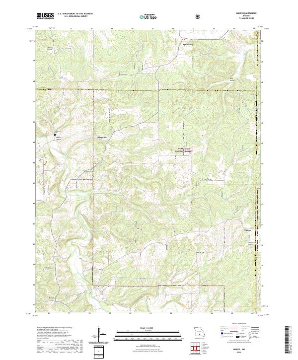
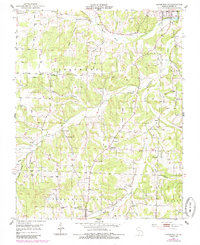
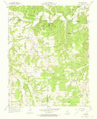
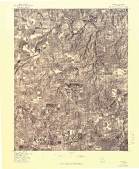
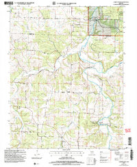
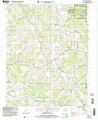
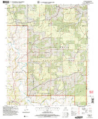
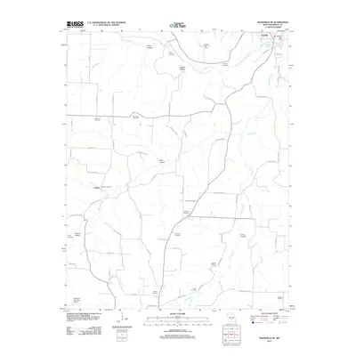
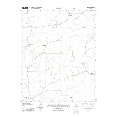
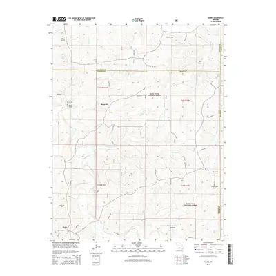
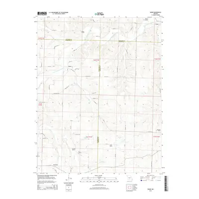
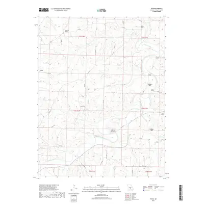
2021 Map of Manes
USGS Topo · Published 2021About this map
Lynchburg and the surrounding timberlands of the Mark Twain National Forest define this landscape in the early 21st century. Situated along the borders of Wright, Laclede, and Texas Counties, the area is characterized by a network of drainage basins including Beaver Cr and Shelby Br. Small settlements such as Mingsville and Embree are connected by a web of local routes like State Hwy KK and Crisptown Rd.
Find a feature on this map
40 named features on this map. Tap any name to fly to it.
Don’t see what you’re looking for? This feature index may not catch every label — zoom into the map to look around manually.
Map Details
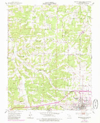
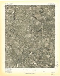
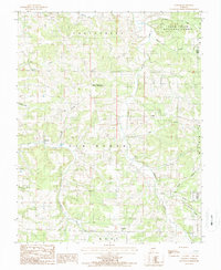
Editions of this 2021 Manes Map
This is the sole edition of this map. No revisions or reprints were ever made.
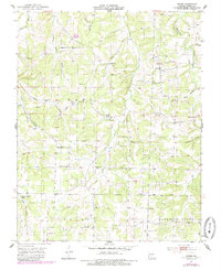
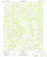
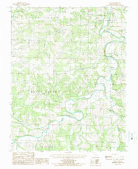
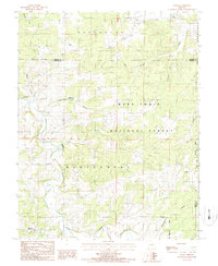
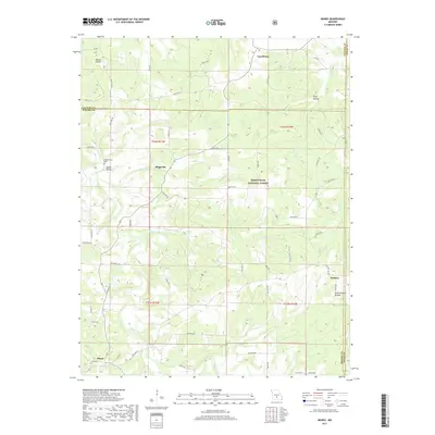
Historical Maps of Lynchburg Through Time
55 maps found
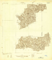
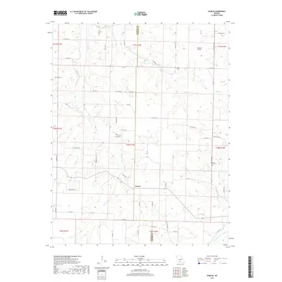
1931 Manes
Wright County, MO
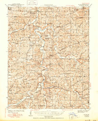
1941 Manes
Wright County, MO
1943 Manes
Wright County, MO
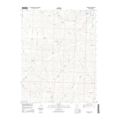
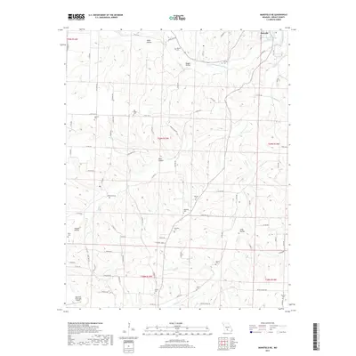
1951 Mansfield NE
Wright County, MO
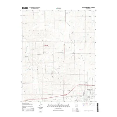
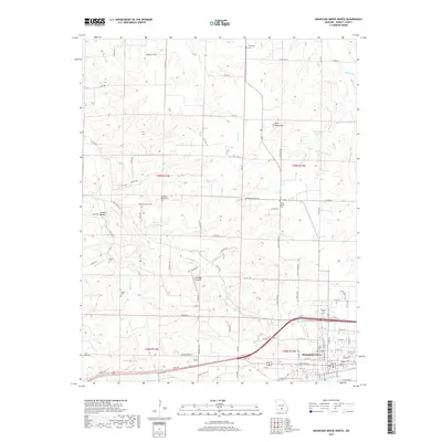
1951 Mountain Grove North
Wright County, MO
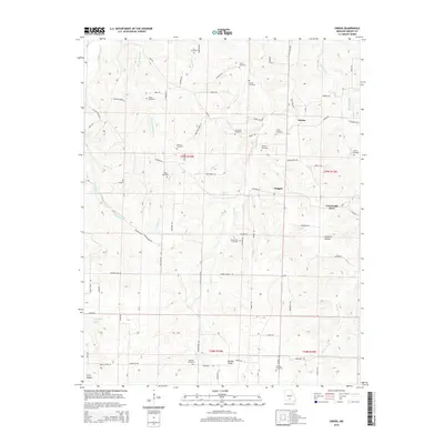
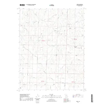
1951 Owens
Wright County, MO
1956 Duncan
Wright County, MO
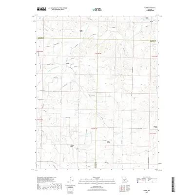
1956 Rader
Wright County, MO
1977 Duncan
Wright County, MO
1977 Mansfield NE
Wright County, MO
1977 Owens
Wright County, MO
1977 Rader
Wright County, MO

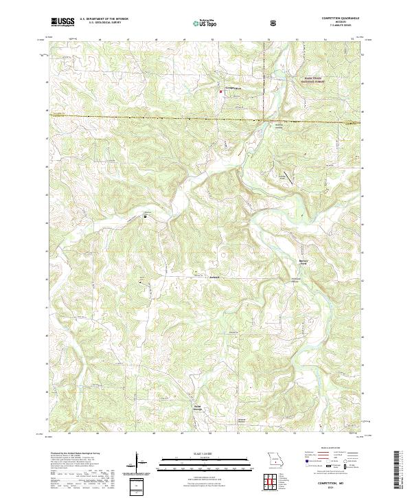
1987 Competition
Wright County, MO
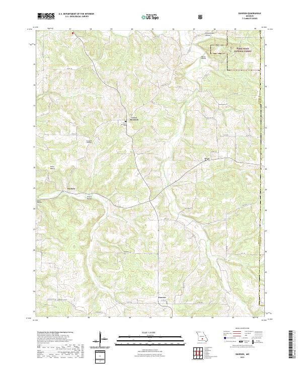
1987 Dawson
Wright County, MO
1987 Fuson
Wright County, MO
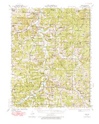
1987 Manes
Wright County, MO
2004 Competition
Wright County, MO
2004 Dawson
Wright County, MO
2004 Manes
Wright County, MO
2011 Fuson
Wright County, MO
2011 Mansfield NE
Wright County, MO
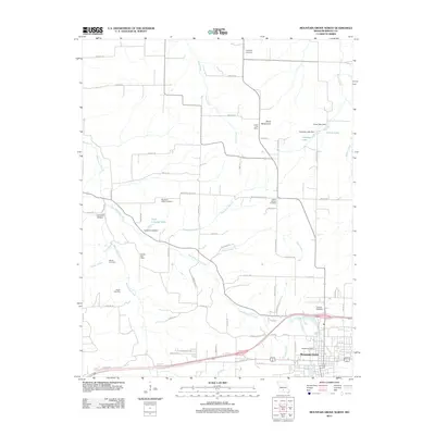
2011 Mountain Grove North
Wright County, MO
2011 Owens
Wright County, MO
2011 Rader
Wright County, MO
2012 Competition
Wright County, MO
2012 Dawson
Wright County, MO
2012 Duncan
Wright County, MO
2012 Manes
Wright County, MO
2015 Competition
Wright County, MO
2015 Dawson
Wright County, MO
2015 Duncan
Wright County, MO
2015 Fuson
Wright County, MO
2015 Manes
Wright County, MO
2015 Mansfield NE
Wright County, MO
2015 Mountain Grove North
Wright County, MO
2015 Owens
Wright County, MO
2015 Rader
Wright County, MO
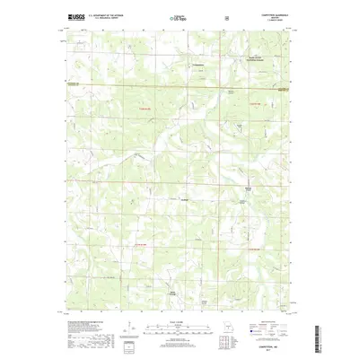
2017 Competition
Wright County, MO
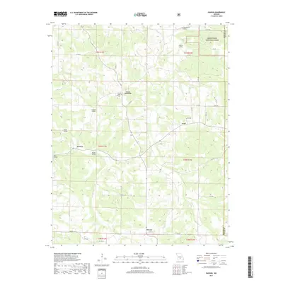
2017 Dawson
Wright County, MO
2017 Duncan
Wright County, MO
2017 Fuson
Wright County, MO
2017 Manes
Wright County, MO
2017 Mansfield NE
Wright County, MO
2017 Mountain Grove North
Wright County, MO
2017 Owens
Wright County, MO
2017 Rader
Wright County, MO
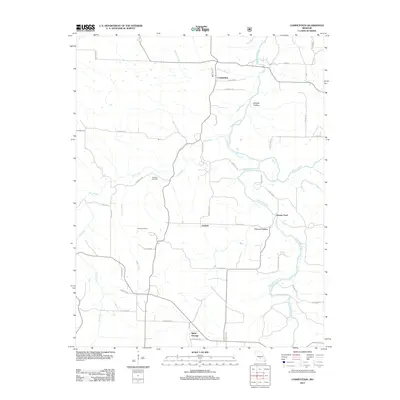
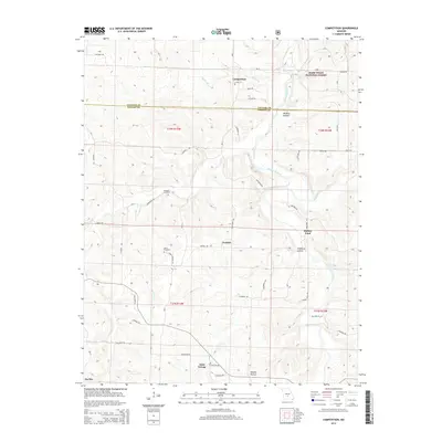
2021 Competition
Wright County, MO
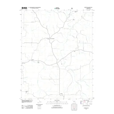
2021 Dawson
Wright County, MO
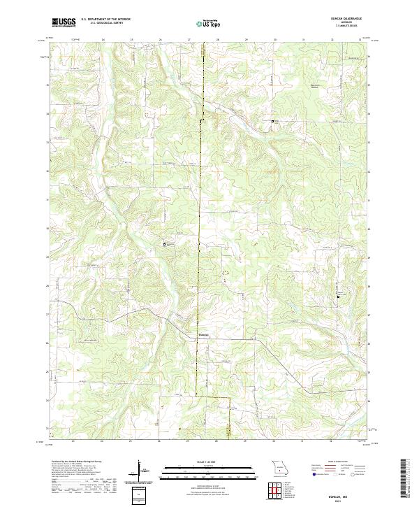
2021 Duncan
Wright County, MO
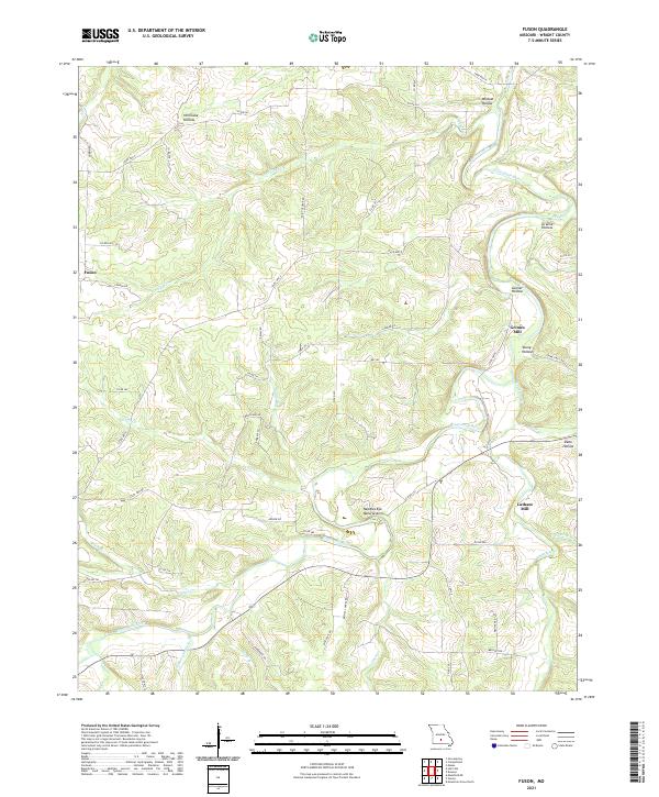
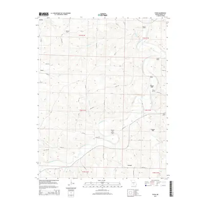
2021 Fuson
Wright County, MO
2021 Manes
Wright County, MO
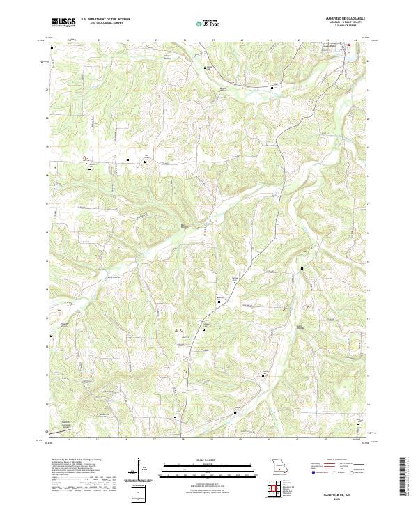
2021 Mansfield NE
Wright County, MO
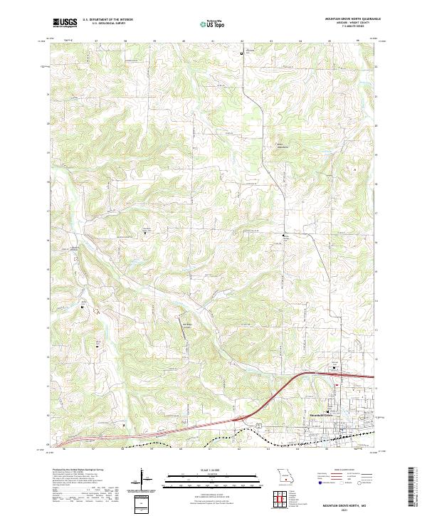
2021 Mountain Grove North
Wright County, MO
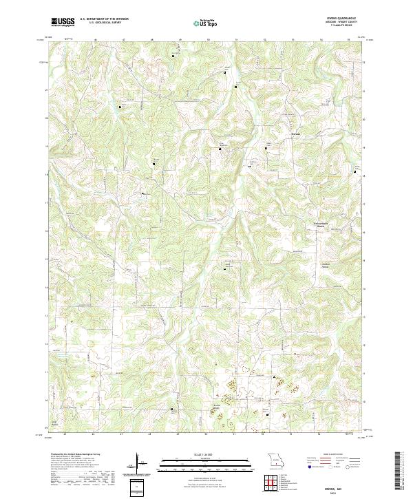
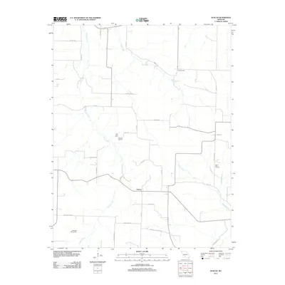
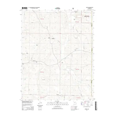
2021 Owens
Wright County, MO
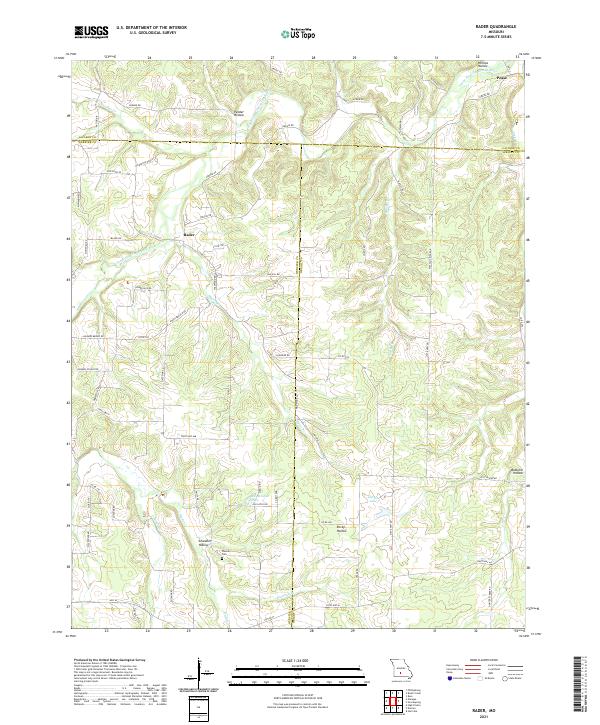
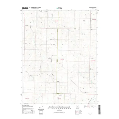
2021 Rader
Wright County, MO