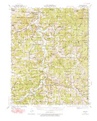
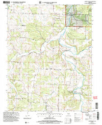
1941 Map of Manes
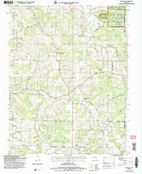
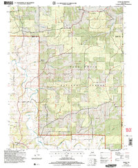
USGS Topo · Published 1977About this map
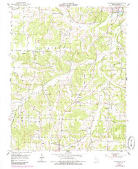
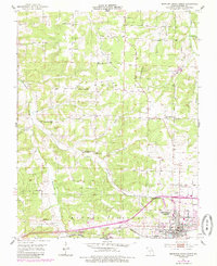
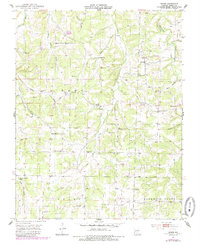
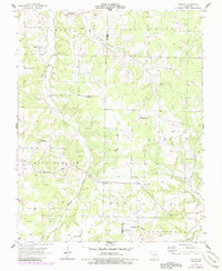
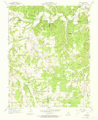
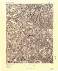
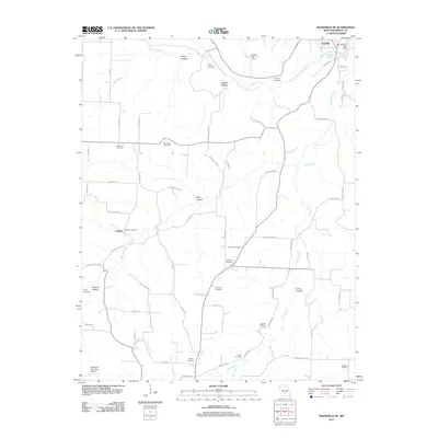
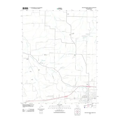
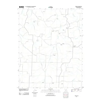
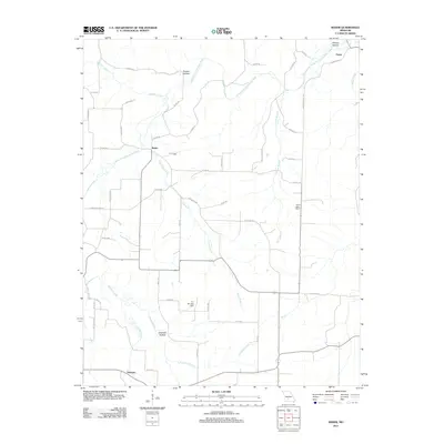
The Gasconade River meanders through the heart of the Ozarks, defining the agricultural and social landscape of Wright, Laclede, and Texas Counties during the early 1940s. Local industry is anchored by water power at Grimes Mill and Latham Mill, while the river's influence on travel is seen at the historic crossing of Burney Ford. This era shows a high density of rural institutions, with dozens of family-named schools like Indian Grove Sch and Robinette Sch serving scattered farming communities. Small crossroads settlements such as Manes, Lynchburg, and Competition act as neighborhood hubs, often centered around churches like New Home Ch and Evening Shade Ch. The eastern portions of the map reveal the beginnings of the Mark Twain National Forest, illustrating the transition from private farmsteads to protected public timberlands.
Find a feature on this map
88 named features on this map. Tap any name to fly to it.
Don’t see what you’re looking for? This feature index may not catch every label — zoom into the map to look around manually.
Map Details
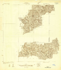
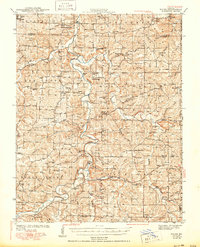
Editions of this 1941 Manes Map
2 editions found
Historical Maps of Lynchburg Through Time
55 maps found
1931 Manes
Wright County, MO
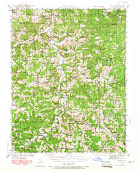
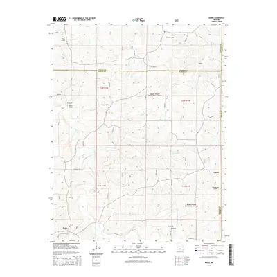
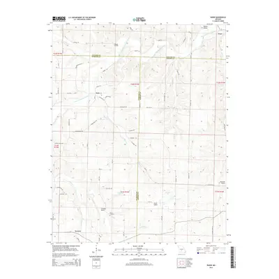
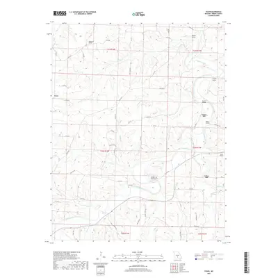
1941 Manes
Wright County, MO
1943 Manes
Wright County, MO
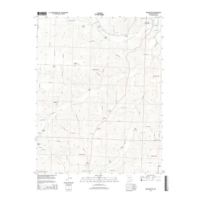
1951 Mansfield NE
Wright County, MO
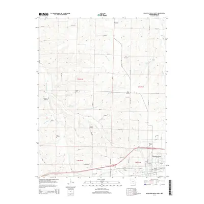
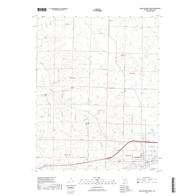
1951 Mountain Grove North
Wright County, MO
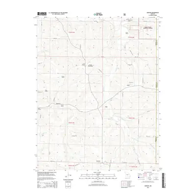
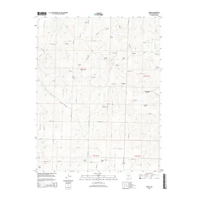
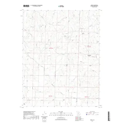
1951 Owens
Wright County, MO
1956 Duncan
Wright County, MO
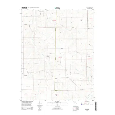
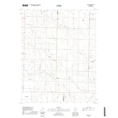
1956 Rader
Wright County, MO
1977 Duncan
Wright County, MO
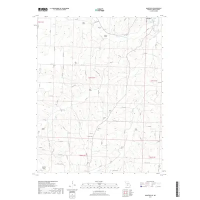
1977 Mansfield NE
Wright County, MO
1977 Owens
Wright County, MO
1977 Rader
Wright County, MO

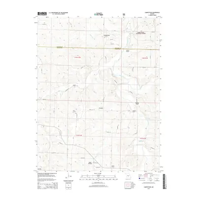
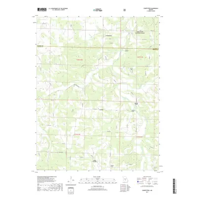
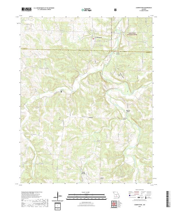
1987 Competition
Wright County, MO
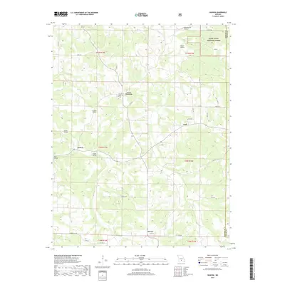
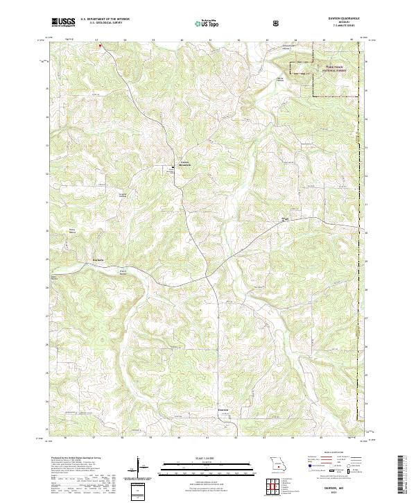
1987 Dawson
Wright County, MO
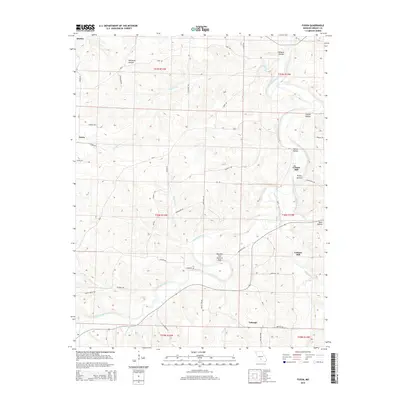
1987 Fuson
Wright County, MO
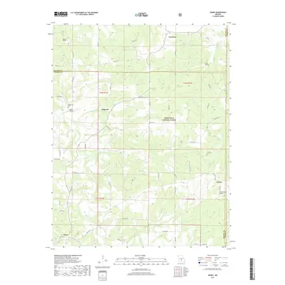
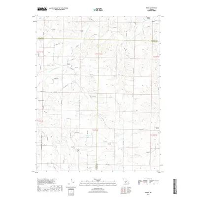
1987 Manes
Wright County, MO
2004 Competition
Wright County, MO
2004 Dawson
Wright County, MO
2004 Manes
Wright County, MO
2011 Fuson
Wright County, MO
2011 Mansfield NE
Wright County, MO
2011 Mountain Grove North
Wright County, MO
2011 Owens
Wright County, MO
2011 Rader
Wright County, MO
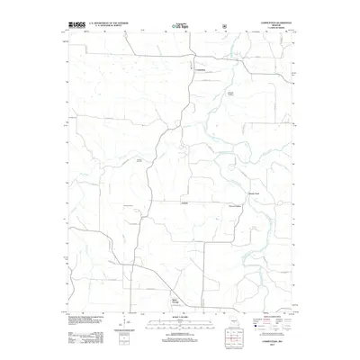
2012 Competition
Wright County, MO
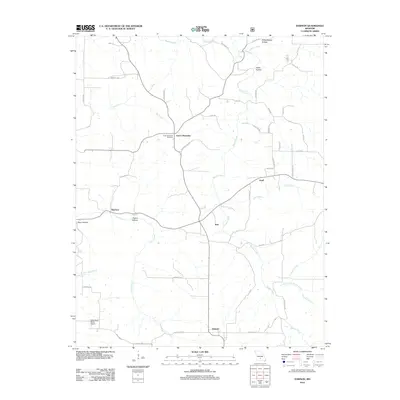
2012 Dawson
Wright County, MO
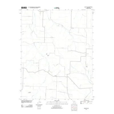
2012 Duncan
Wright County, MO
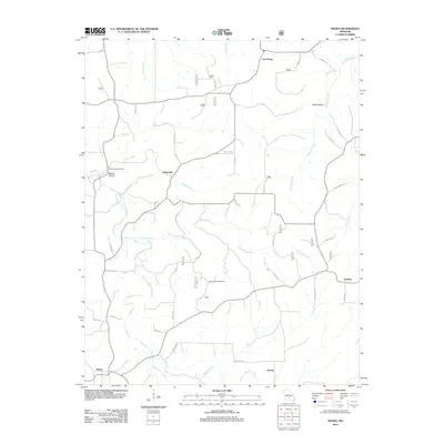
2012 Manes
Wright County, MO
2015 Competition
Wright County, MO
2015 Dawson
Wright County, MO
2015 Duncan
Wright County, MO
2015 Fuson
Wright County, MO
2015 Manes
Wright County, MO
2015 Mansfield NE
Wright County, MO
2015 Mountain Grove North
Wright County, MO
2015 Owens
Wright County, MO
2015 Rader
Wright County, MO
2017 Competition
Wright County, MO
2017 Dawson
Wright County, MO
2017 Duncan
Wright County, MO
2017 Fuson
Wright County, MO
2017 Manes
Wright County, MO
2017 Mansfield NE
Wright County, MO
2017 Mountain Grove North
Wright County, MO
2017 Owens
Wright County, MO
2017 Rader
Wright County, MO
2021 Competition
Wright County, MO
2021 Dawson
Wright County, MO
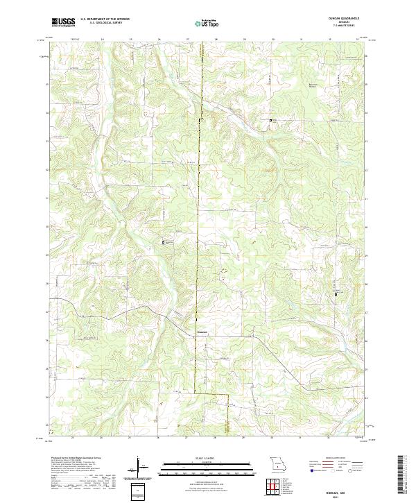
2021 Duncan
Wright County, MO
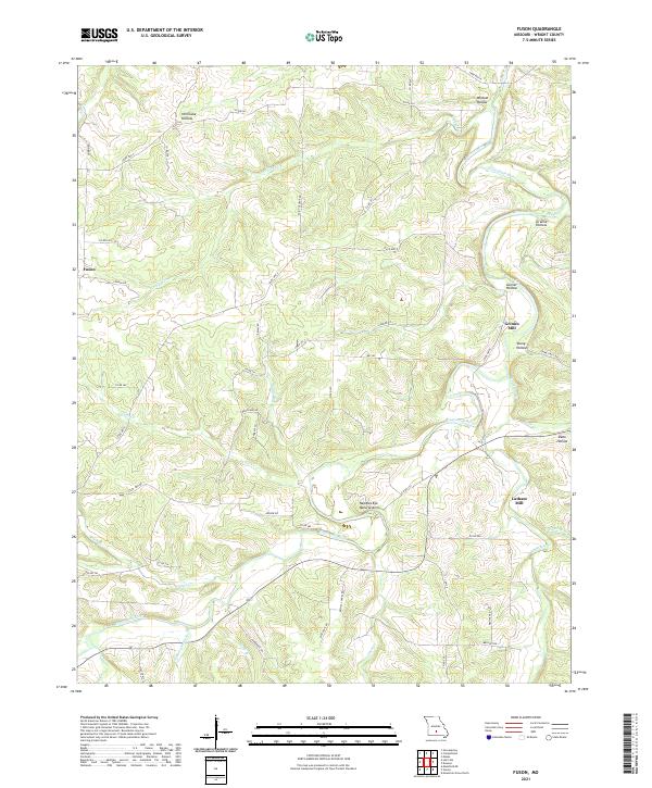
2021 Fuson
Wright County, MO
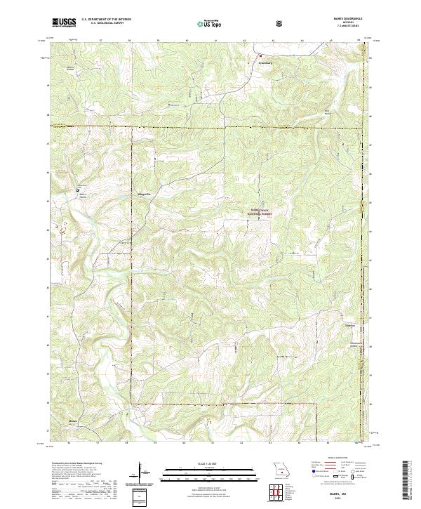
2021 Manes
Wright County, MO
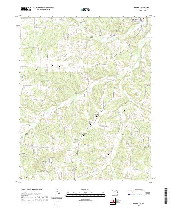
2021 Mansfield NE
Wright County, MO
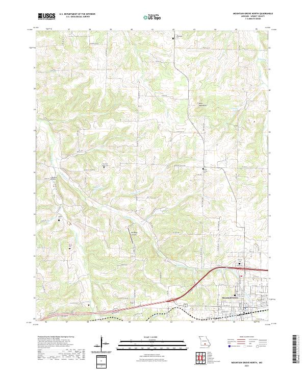
2021 Mountain Grove North
Wright County, MO
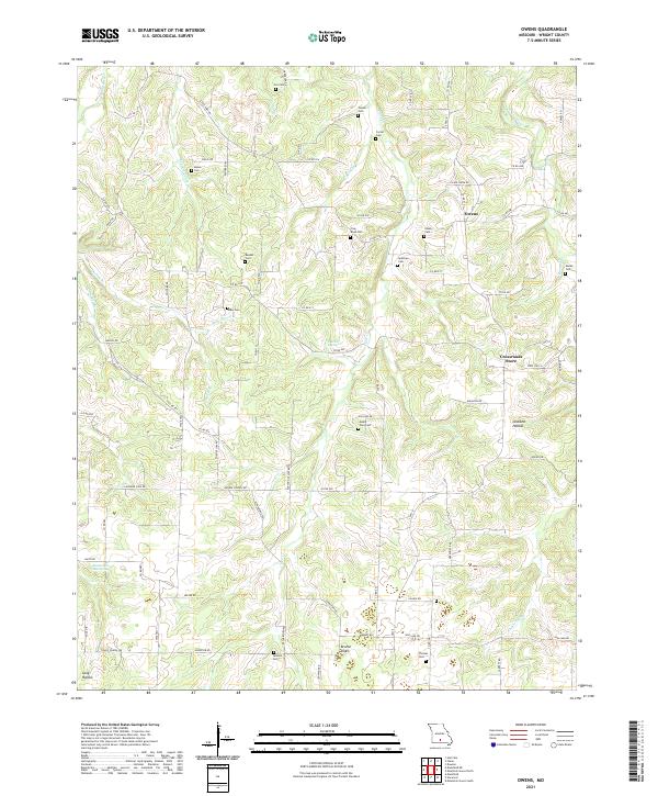
2021 Owens
Wright County, MO
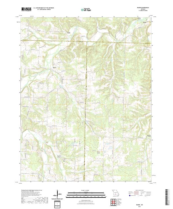
2021 Rader
Wright County, MO