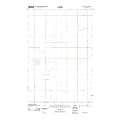
2011 Map of Manfred SE
USGS Topo · Published 2011About this map
The James River winds in a serpentine path across this prairie landscape in Wells County, creating a distinctive hydrological pattern of oxbows and marshy depressions. This section of the North Dakota plains is defined by a rigid section-line grid of rural roads, including 14th St NE and 32nd Ave NE, which reflect the late-nineteenth-century land organization that shaped the region's agricultural development. A key point of local interest is the Mennonite Cemetery, located near 8th St NE. The proximity of this burial ground to the river's flood plain and the local road network provides a clear view of the early settlement patterns and religious heritage of the farming communities that occupied these lands during the early twentieth century.
Find a feature on this map
17 named features on this map. Tap any name to fly to it.
Don’t see what you’re looking for? This feature index may not catch every label — zoom into the map to look around manually.
Map Details
Editions of this 2011 Manfred SE Map
This is the sole edition of this map. No revisions or reprints were ever made.
Other maps of this area

1945 · Manfred
USGS Topo · 1:62,500

1948 · Fessenden
USGS Topo · 1:62,500

1948 · Manfred
USGS Topo · 1:62,500

1949 · Fessenden SW
USGS Topo · 1:24,000

1949 · Fessenden West
USGS Topo · 1:24,000

1949 · Manfred SW
USGS Topo · 1:24,000

1950 · Manfred SE
USGS Topo · 1:24,000

1950 · Manfred NW
USGS Topo · 1:24,000

1950 · Manfred
USGS Topo · 1:24,000

1950 · Manfred SW
USGS Topo · 1:24,000