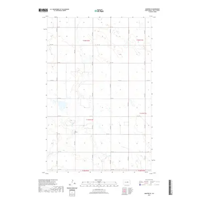
2020 Map of Manfred SE
USGS Topo · Published 2020About this map
The James River meanders southward through this rural section of Wells County, shaping a landscape defined by seasonal wetlands and a grid of township roads. Located in the heart of central North Dakota, this area is characterized by its agricultural layout, organized under townships such as t147n r72w and t148n r72w. For genealogists and local historians, the Hope Mennonite Cem stands as a significant landmark, marking the presence of early religious communities and family histories in this prairie region. The map illustrates the transition from high-ground prairie to the river valley, where local thoroughfares like 14th St NE and 32nd Ave NE provide the primary infrastructure connecting isolated farmsteads and rural homesteads.
Find a feature on this map
24 named features on this map. Tap any name to fly to it.
Don’t see what you’re looking for? This feature index may not catch every label — zoom into the map to look around manually.
Map Details
Editions of this 2020 Manfred SE Map
This is the sole edition of this map. No revisions or reprints were ever made.
Other maps of this area

1945 · Manfred
USGS Topo · 1:62,500

1948 · Fessenden
USGS Topo · 1:62,500

1948 · Manfred
USGS Topo · 1:62,500

1949 · Fessenden SW
USGS Topo · 1:24,000

1949 · Fessenden West
USGS Topo · 1:24,000

1949 · Manfred SW
USGS Topo · 1:24,000

1950 · Manfred SE
USGS Topo · 1:24,000

1950 · Manfred NW
USGS Topo · 1:24,000

1950 · Manfred
USGS Topo · 1:24,000

1950 · Manfred SW
USGS Topo · 1:24,000