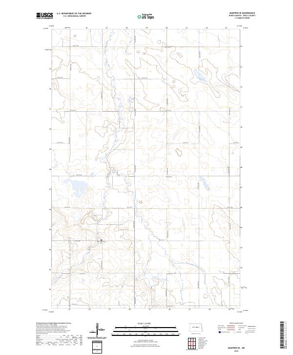
2024 Map of Manfred SE
USGS Topo · Published 2024About this map
The James River meanders through the heart of this landscape, carving a north-south path through the prairie of Wells County. The terrain is defined by a grid of agricultural roads, including 9th St NE and 34th Ave NE, which partition the land into regular sections. This layout reflects the structured land use of the High Plains, where the drainage patterns of the river disrupt the otherwise uniform township and range system. Near the southern bank of the river, Hope Mennonite Cem stands as a significant point of local heritage, anchoring the community history within this rural expanse. The map illustrates a quiet, agrarian environment where the natural flow of the water and the rigid human engineering of the road network coexist.
Find a feature on this map
23 named features on this map. Tap any name to fly to it.
Don’t see what you’re looking for? This feature index may not catch every label — zoom into the map to look around manually.
Map Details
Editions of this 2024 Manfred SE Map
This is the sole edition of this map. No revisions or reprints were ever made.
Other maps of this area

1945 · Manfred
USGS Topo · 1:62,500

1948 · Fessenden
USGS Topo · 1:62,500

1948 · Manfred
USGS Topo · 1:62,500

1949 · Fessenden SW
USGS Topo · 1:24,000

1949 · Fessenden West
USGS Topo · 1:24,000

1949 · Manfred SW
USGS Topo · 1:24,000

1950 · Manfred SE
USGS Topo · 1:24,000

1950 · Manfred NW
USGS Topo · 1:24,000

1950 · Manfred
USGS Topo · 1:24,000

1950 · Manfred SW
USGS Topo · 1:24,000