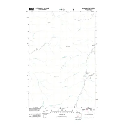
2011 Map of Manhead Mountain
USGS Topo · Published 2011About this map
The mountain settlement of Mammoth serves as the focal point for this Madison County landscape, where the South Boulder River flows through the high elevations of the Tobacco Root Mountains. The area's legacy of extraction is documented through the Mammoth Mine and the nearby Mammoth Tailings, reflecting the historic mineral strikes that shaped the region's early development. These industrial sites are part of a broader network of remote operations, including the Brooks Creek Mine and the Perry Canyon II Mine to the north.
Find a feature on this map
31 named features on this map. Tap any name to fly to it.
Don’t see what you’re looking for? This feature index may not catch every label — zoom into the map to look around manually.
Map Details
Editions of this 2011 Manhead Mountain Map
This is the sole edition of this map. No revisions or reprints were ever made.
Other maps of this area

1888 · Three Forks
USGS Topo · 1:250,000

1893 · Dillon
USGS Topo · 1:250,000

1894 · Three Forks
USGS Topo · 1:250,000

1895 · Three Forks
USGS Topo · 1:250,000

1947 · Bozeman
USGS Topo · 1:250,000

1948 · Bozeman
USGS Topo · 1:250,000

1950 · Jefferson Island
USGS Topo · 1:62,500

1950 · Harrison
USGS Topo · 1:62,500

1955 · Bozeman
USGS Topo · 1:250,000

1955 · Dillon
USGS Topo · 1:250,000