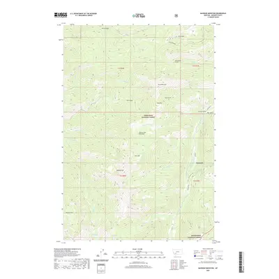
2020 Map of Manhead Mountain
USGS Topo · Published 2020About this map
The high-altitude terrain of the Tobacco Root Mountains dominates this portion of Madison County, where the settlement of Mammoth sits along the S Boulder River. The landscape is defined by steep drainages and prominent peaks, including Manhead Mtn, Brownback Mtn, and Dead Mtn. Water is a primary feature of the topography, with remote alpine basins holding Rock Cr Lake, Beall Lake, and Curly Lake.
Find a feature on this map
40 named features on this map. Tap any name to fly to it.
Don’t see what you’re looking for? This feature index may not catch every label — zoom into the map to look around manually.
Map Details
Editions of this 2020 Manhead Mountain Map
This is the sole edition of this map. No revisions or reprints were ever made.
Other maps of this area

1888 · Three Forks
USGS Topo · 1:250,000

1893 · Dillon
USGS Topo · 1:250,000
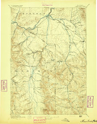
1894 · Three Forks
USGS Topo · 1:250,000
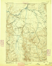
1895 · Three Forks
USGS Topo · 1:250,000
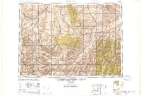
1947 · Bozeman
USGS Topo · 1:250,000
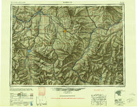
1948 · Bozeman
USGS Topo · 1:250,000
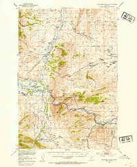
1950 · Jefferson Island
USGS Topo · 1:62,500
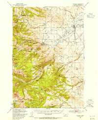
1950 · Harrison
USGS Topo · 1:62,500
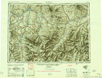
1955 · Bozeman
USGS Topo · 1:250,000

1955 · Dillon
USGS Topo · 1:250,000